Olhao_Tide_Mill.jpg
Size of this preview:
800 × 592 pixels
.
Other resolutions:
320 × 237 pixels
|
640 × 474 pixels
|
1,024 × 758 pixels
|
1,280 × 947 pixels
|
2,505 × 1,854 pixels
.
Summary
| Description |
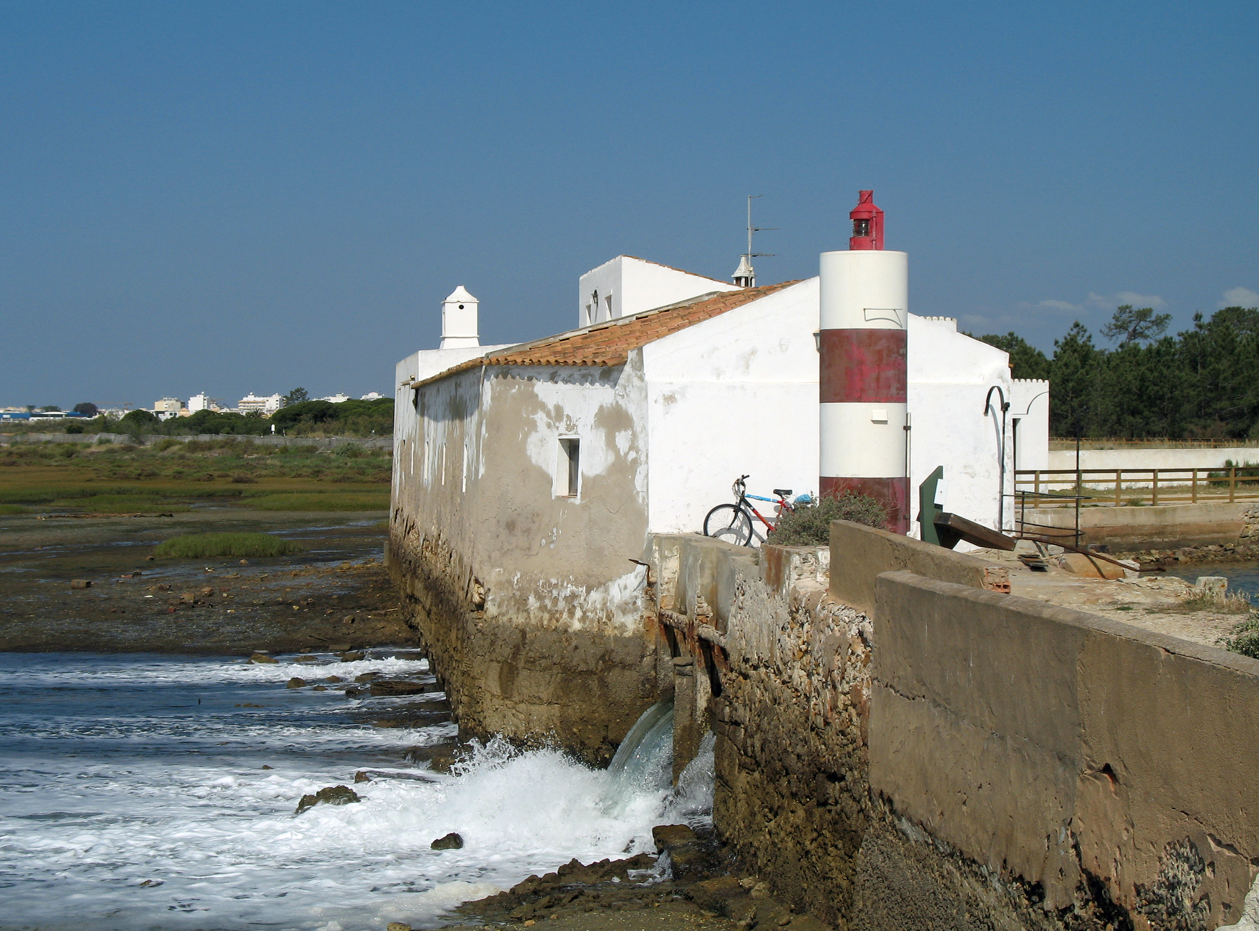
English:
Olhão (Algarve, Portugal), Natural Park Ria Formosa, tide mill. Moinho light at Olhão, Canal da assetia
Nederlands:
Olhão (Algarve, Portugal), Natuurpark Ria Formosa, getijdemolen en de
Farolim do Moinho
(vuurtorentje van de molen)
Français :
Olhão (Algarve, Portugal), Parc naturel Ria Formosa, moulin à marée et le Phare du Moulin (
Farolim do Moinho
)
Deutsch:
Olhão (Algarve, Portugal), Naturpark Ria Formosa, Gezeitenmühle und "Mühlenleuchtturm" (
Farolim do Moinho
)
Português:
Olhão (Algarve, Portugal), Parque Natural da Ria Formosa, moinho de maré. Farolim do Moinho, Olhão Canal da Assetia
|
| Date | |
| Source | Own work |
| Author | Marc Ryckaert ( MJJR ) |
| Camera location |
|
View this and other nearby images on: OpenStreetMap |
|
|---|
Licensing
I, the copyright holder of this work, hereby publish it under the following license:
This file is licensed under the
Creative Commons
Attribution 3.0 Unported
license.
-
You are free:
- to share – to copy, distribute and transmit the work
- to remix – to adapt the work
-
Under the following conditions:
- attribution – You must give appropriate credit, provide a link to the license, and indicate if changes were made. You may do so in any reasonable manner, but not in any way that suggests the licensor endorses you or your use.
|
|
This image has been assessed using the
Quality image guidelines
and is considered a
Quality image
.
|