Onion_domes_of_Cathedral_of_the_Annunciation.JPG

Size of this preview:
800 × 600 pixels
.
Other resolutions:
320 × 240 pixels
|
640 × 480 pixels
|
1,024 × 768 pixels
|
1,280 × 960 pixels
|
2,560 × 1,920 pixels
|
3,648 × 2,736 pixels
.
Summary
| Description |
English
:
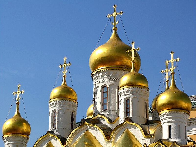
Onion domes of
Cathedral of the Annunciation
, Moscow Kremlin, Russia. Built between 1484-1489.
Français
:
Dômes en bulbe de la cathédrale de l'Annonciation, dans le
Kremlin de Moscou
, en Russie. La cathédrale a été édifiée entre 1484 et 1489.
Русский
:
Купола Благовещенского собора Московского Кремля.
Српски / srpski
:
Торњеви Благовјештанске саборне цркве (1484-89).
|
| Date | |
| Source | Own work |
| Author | Petar Milošević |
|
Permission
( Reusing this file ) |
Petar Milošević
(author)
|
| Camera location |
|
View this and other nearby images on: OpenStreetMap |
|
|---|
Licensing
I, the copyright holder of this work, hereby publish it under the following license:
This file is licensed under the
Creative Commons
Attribution-Share Alike 4.0 International
license.
-
You are free:
- to share – to copy, distribute and transmit the work
- to remix – to adapt the work
-
Under the following conditions:
- attribution – You must give appropriate credit, provide a link to the license, and indicate if changes were made. You may do so in any reasonable manner, but not in any way that suggests the licensor endorses you or your use.
- share alike – If you remix, transform, or build upon the material, you must distribute your contributions under the same or compatible license as the original.

|
This image has been assessed under the valued image criteria and is considered the most valued image on Commons within the scope: Onion domes in Russia . You can see its nomination here . |
|
|
This image has been assessed using the
Quality image guidelines
and is considered a
Quality image
.
|