Oretani_location_map-blank.svg

Size of this PNG preview of this SVG file:
800 × 600 pixels
.
Other resolutions:
320 × 240 pixels
|
640 × 480 pixels
|
1,024 × 768 pixels
|
1,280 × 960 pixels
|
2,560 × 1,920 pixels
|
1,140 × 855 pixels
.
Summary
| Description |
English:
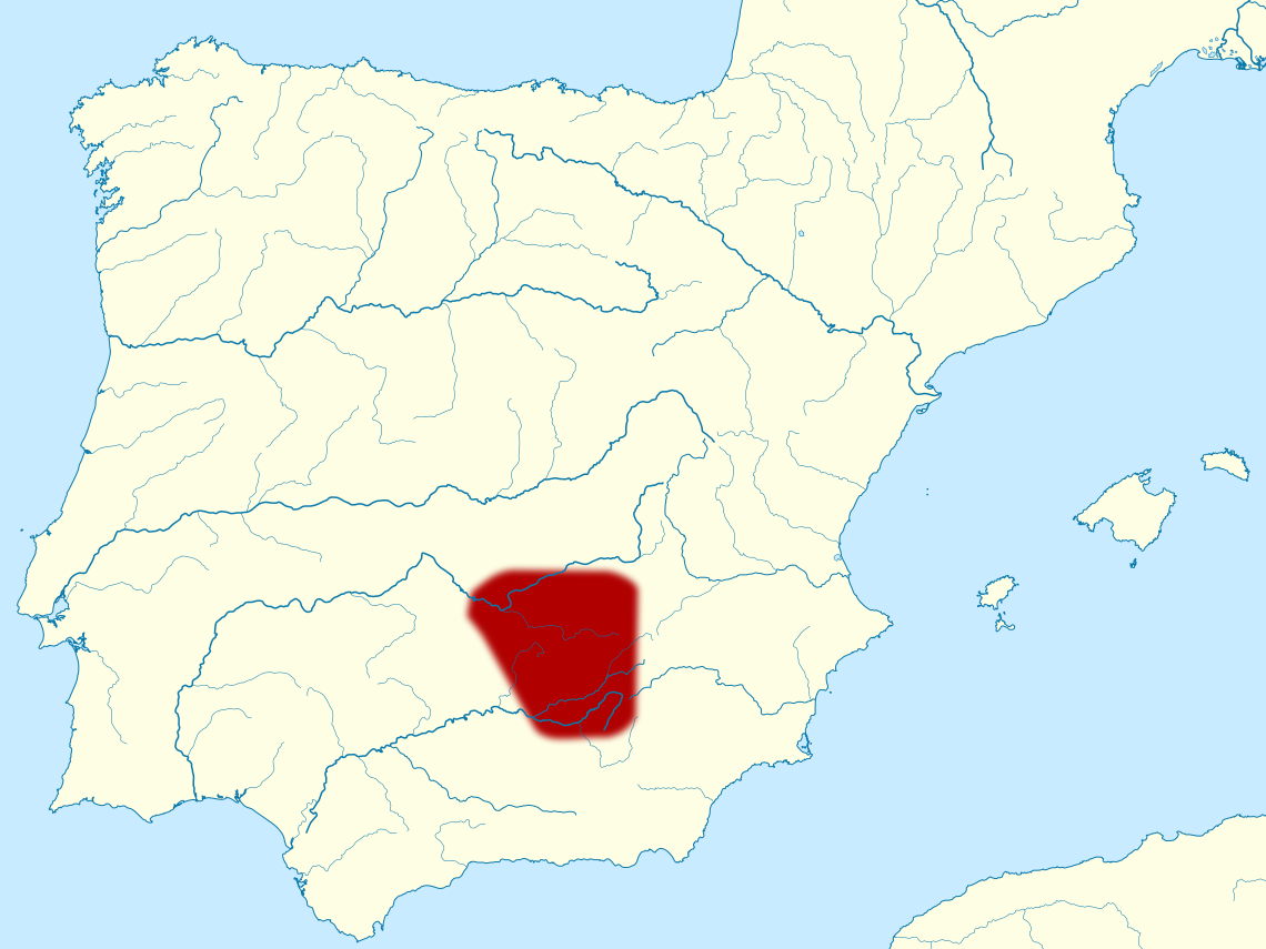
Location map of the pre-Roman people of
Oretani
in Iberian peninsula.
Français :
Carte de localisation du peuple
Oretani
dans la péninsule ibérique.
|
| Date | |
| Source | Own work , based on Cessetani location map-blank.svg (by Sémhur ) and Ethnographic Iberia 200 BCE-it.PNG (by DaniDF1995 ) |
| Author | Mutichou |
This
W3C-unspecified
vector image
was created with
Inkscape
.
Licensing
I, the copyright holder of this work, hereby publish it under the following license:
This file is licensed under the
Creative Commons
Attribution-Share Alike 3.0 Unported
license.
-
You are free:
- to share – to copy, distribute and transmit the work
- to remix – to adapt the work
-
Under the following conditions:
- attribution – You must give appropriate credit, provide a link to the license, and indicate if changes were made. You may do so in any reasonable manner, but not in any way that suggests the licensor endorses you or your use.
- share alike – If you remix, transform, or build upon the material, you must distribute your contributions under the same or compatible license as the original.