Orienteering_map_control_points.svg

Size of this PNG preview of this SVG file:
570 × 282 pixels
.
Other resolutions:
320 × 158 pixels
|
640 × 317 pixels
|
1,024 × 507 pixels
|
1,280 × 633 pixels
|
2,560 × 1,267 pixels
.
Summary
| Description |
Italiano:
Percorso di orientamento
English:
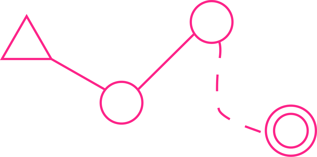
An example of how control points are shown on an orienteering map
|
| Date | (UTC) |
| Source |
This file was derived from:
Percorso di orientamento (ita).png
:
|
| Author |
|
.png)
Licensing
I, the copyright holder of this work, hereby publish it under the following license:
This file is licensed under the
Creative Commons
Attribution-Share Alike 3.0 Unported
license.
-
You are free:
- to share – to copy, distribute and transmit the work
- to remix – to adapt the work
-
Under the following conditions:
- attribution – You must give appropriate credit, provide a link to the license, and indicate if changes were made. You may do so in any reasonable manner, but not in any way that suggests the licensor endorses you or your use.
- share alike – If you remix, transform, or build upon the material, you must distribute your contributions under the same or compatible license as the original.
Original upload log
This image is a derivative work of the following images:
-
File:Percorso_di_orientamento_(ita).png
licensed with Cc-by-sa-3.0
- 2007-10-11T14:31:11Z Wiki.edoardo 594x394 (21791 Bytes) [[Category:Orienteering]]
Uploaded with derivativeFX