Orienteringskort_bygholm_2005.PNG

Size of this preview:
800 × 498 pixels
.
Other resolutions:
320 × 199 pixels
|
640 × 399 pixels
|
1,024 × 638 pixels
|
1,280 × 797 pixels
|
2,335 × 1,454 pixels
.
Summary
| Description |
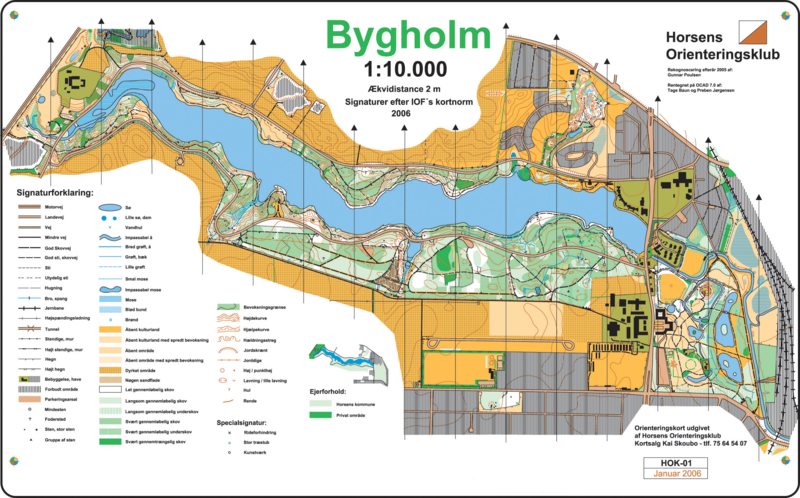
English:
Orienteering map of "Bygholm Skov" just outside
Horsens
,
Denmark
. Map uploaded with permission from Horsens Orienteringsklub, c/o chairman Lars Sørensen.
Dansk:
Orienteringskort (o-kort) over Bygholm Skov ved
Horsens
. Uploadet med tilladelse fra Horsens Orienteringsklub, v/ fmd. Lars Sørensen. Rekognosceret af Gunnar Poulsen. Tegnet af Tage Baun og Preben Jørgensen.
Polski:
Przykład mapy do biegu na orientację z okolic Horsens, Dania.
|
| Source | Horsens Orienteringsklub |
| Author | Tage Baun and Preben Jørgensen |
Licensing

|
Permission is granted to copy, distribute and/or modify this document under the terms of the GNU Free Documentation License , Version 1.2 or any later version published by the Free Software Foundation ; with no Invariant Sections, no Front-Cover Texts, and no Back-Cover Texts. A copy of the license is included in the section entitled GNU Free Documentation License . |
|
|
This file is licensed under the Creative Commons Attribution-Share Alike 3.0 Unported license. | |
|
||
| This licensing tag was added to this file as part of the GFDL licensing update . |
(usuń) (bież) 12:49, 28 II 2006 . . Ernst Poulsen (Dyskusja | wkład) . . 2335×1454 (1 287 161 bajtów) (Orienteringskort (o-kort) over Bygholm Skov ved Horsens. Uploadet med tilladelse fra Horsens Orienteringsklub, v/ fmd. Lars Sørensen. Rekognosceret af Gunnar Poulsen. Tegnet af Tage Baun og Preben Jørgensen. Orienteering map of "Bygholm Skov" just outs)