Osterlengarden.jpg
Size of this preview:
800 × 533 pixels
.
Other resolutions:
320 × 213 pixels
|
640 × 427 pixels
|
1,024 × 683 pixels
|
1,280 × 853 pixels
|
1,800 × 1,200 pixels
.
Summary
| Description |
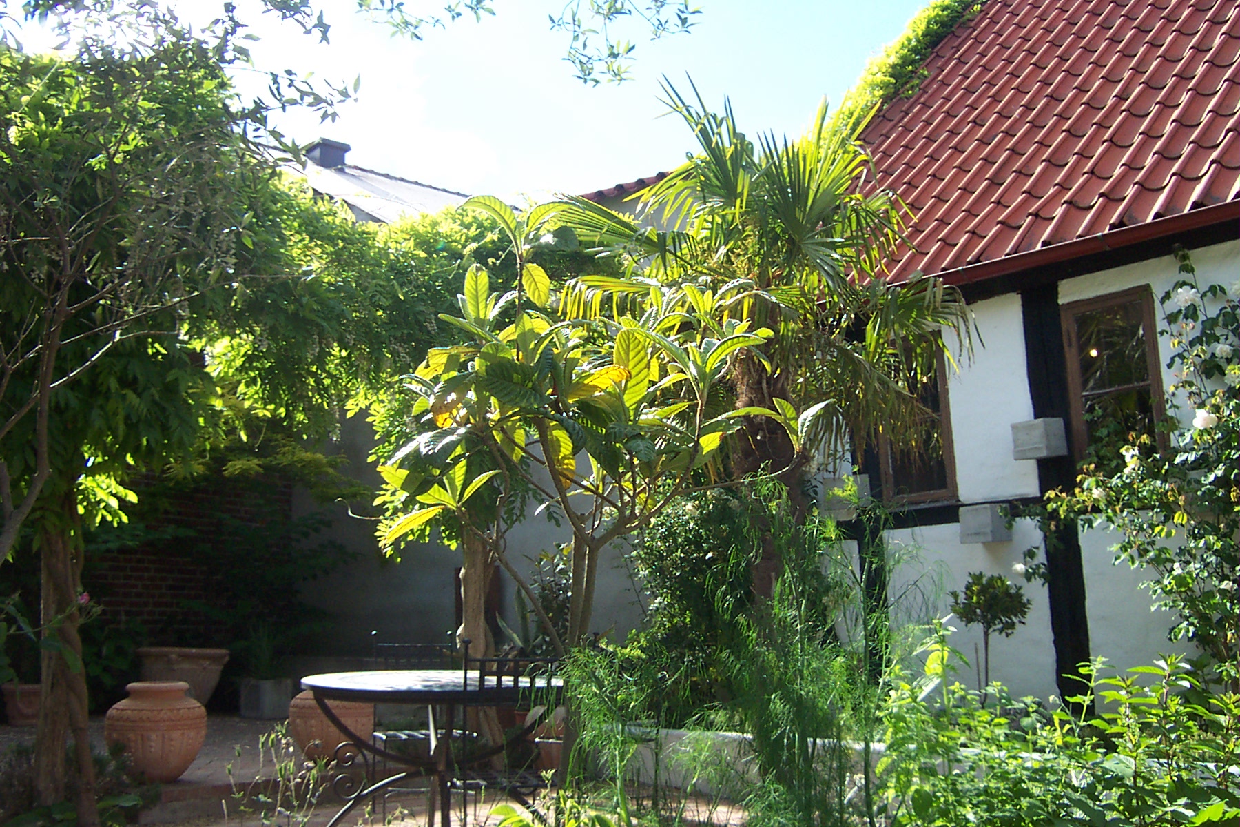
English:
A garden in Simrishamn, Sweden. Located in Osterlen, this is Sweden's "Banana belt", with a climate very similar to the German Rhineland, 600 kilometres further south.
|
| Date | |
| Source | Own work |
| Author | Clint.hotvedt |
| Camera location |
|
View this and other nearby images on: OpenStreetMap |
|
|---|
Licensing
I, the copyright holder of this work, hereby publish it under the following license:
This file is licensed under the
Creative Commons
Attribution 3.0 Unported
license.
-
You are free:
- to share – to copy, distribute and transmit the work
- to remix – to adapt the work
-
Under the following conditions:
- attribution – You must give appropriate credit, provide a link to the license, and indicate if changes were made. You may do so in any reasonable manner, but not in any way that suggests the licensor endorses you or your use.