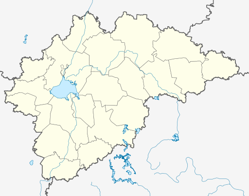
Outline_Map_of_Novgorod_Oblast.svg

Size of this PNG preview of this SVG file:
512 × 403 pixels
.
Other resolutions:
305 × 240 pixels
|
610 × 480 pixels
|
976 × 768 pixels
|
1,280 × 1,008 pixels
|
2,560 × 2,015 pixels
.
Summary
| Description |
Русский:
Позиционная карта Новгородской области
|top = 59.6 |bottom = 56.7 |left = 29.5 |right = 36.5 |
| Date | |
| Source |
Own work
This
W3C-unspecified
vector image
was created with
Inkscape
.
|
| Author | Виктор В |
| Other versions |
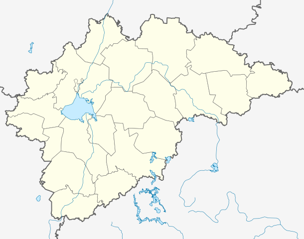
Derivative works of this file: Numbered Map of Novgorod Oblast.png
[
]
|


Licensing
This file is licensed under the
Creative Commons
Attribution-Share Alike 2.0 Generic
license.
-
You are free:
- to share – to copy, distribute and transmit the work
- to remix – to adapt the work
-
Under the following conditions:
- attribution – You must give appropriate credit, provide a link to the license, and indicate if changes were made. You may do so in any reasonable manner, but not in any way that suggests the licensor endorses you or your use.
- share alike – If you remix, transform, or build upon the material, you must distribute your contributions under the same or compatible license as the original.