Pasture_at_the_Viewpoint_-_geograph.org.uk_-_15065.jpg
No higher resolution available.
Summary
| Description |
English:
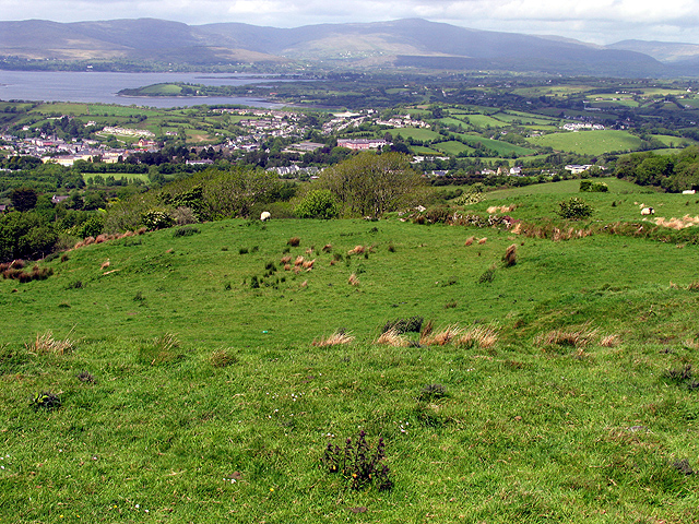
Pasture at the Viewpoint. This field in the foreground is at the viewpoint marked on the map. The town of Bantry is visible in the distance, in the valley. The harbour and town centre is to the far left of the built up area.
|
| Date | |
| Source | From geograph.org.uk |
| Author | Pam Brophy |
|
Attribution
( required by the license ) |
Pam Brophy / Pasture at the Viewpoint / |
| Object location |
|
View this and other nearby images on: OpenStreetMap |
|
|---|
_&language=en)
Licensing

|
This image was taken from the
Geograph project
collection. See
this photograph's page
on the Geograph website for the photographer's contact details. The copyright on this image is owned by
Pam Brophy
and is licensed for reuse under the
Creative Commons
Attribution-ShareAlike 2.0 license.
|
This file is licensed under the
Creative Commons
Attribution-Share Alike 2.0 Generic
license.
Attribution:
Pam Brophy
-
You are free:
- to share – to copy, distribute and transmit the work
- to remix – to adapt the work
-
Under the following conditions:
- attribution – You must give appropriate credit, provide a link to the license, and indicate if changes were made. You may do so in any reasonable manner, but not in any way that suggests the licensor endorses you or your use.
- share alike – If you remix, transform, or build upon the material, you must distribute your contributions under the same or compatible license as the original.