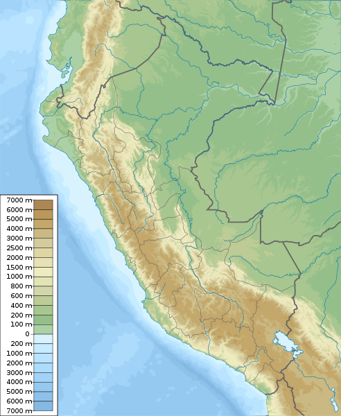
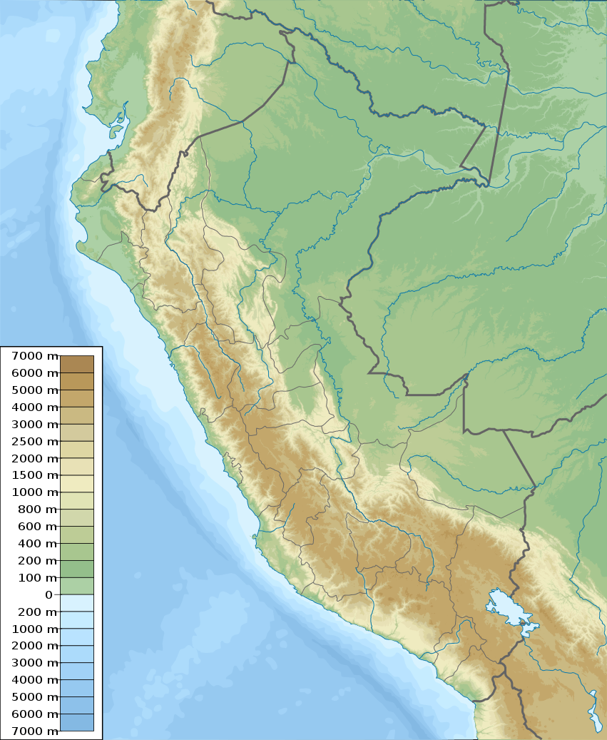
Peru_physical_map.svg

Size of this PNG preview of this SVG file:
492 × 600 pixels
.
Other resolutions:
197 × 240 pixels
|
394 × 480 pixels
|
630 × 768 pixels
|
840 × 1,024 pixels
|
1,681 × 2,048 pixels
|
851 × 1,037 pixels
.
Summary
| Description |
English:
Physical map of Peru, parameters are equal to
File:Peru location map.svg
Español:
mapa físico de Perú, los parámetros son iguales a
File:Peru location map.svg
|
| Date | |
| Source | Own work , topographical information from Shuttle Radar Topography Mission |
| Author | Urutseg |
| SVG development |
Licensing
I, the copyright holder of this work, hereby publish it under the following license:
|
|
This file is made available under the Creative Commons CC0 1.0 Universal Public Domain Dedication . |
|
The person who associated a work with this deed has dedicated the work to the
public domain
by waiving all of their rights to the work worldwide under copyright law, including all related and neighboring rights, to the extent allowed by law. You can copy, modify, distribute and perform the work, even for commercial purposes, all without asking permission.
|