Phoenicia_map-en.svg

Size of this PNG preview of this SVG file:
610 × 405 pixels
.
Other resolutions:
320 × 212 pixels
|
640 × 425 pixels
|
1,024 × 680 pixels
|
1,280 × 850 pixels
|
2,560 × 1,700 pixels
.
This
W3C-unspecified
vector image
was created with
Inkscape
.
Summary
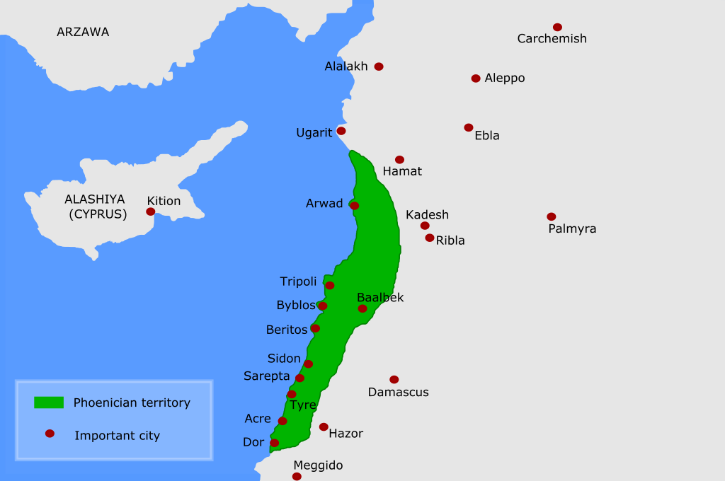
| Description | "map of Phoenicia", apparently intended to give a rough idea of the part of the Levant known as "Phoenicia", it does not correspond to any historical empire or polity. The cities indicated are the ancient Phoenician city states, perhaps in the Late Bronze Age (?) |
| Date | |
| Source | This map |
| Author | Kordas , based on Alvaro 's work |
| Other versions |
[
]
|


Licensing
I, the copyright holder of this work, hereby publish it under the following license:
This file is licensed under the
Creative Commons
Attribution 3.0 Unported
license.
-
You are free:
- to share – to copy, distribute and transmit the work
- to remix – to adapt the work
-
Under the following conditions:
- attribution – You must give appropriate credit, provide a link to the license, and indicate if changes were made. You may do so in any reasonable manner, but not in any way that suggests the licensor endorses you or your use.

|
This SVG file contains embedded text that can be translated into your language, using any capable SVG editor, text editor or the SVG Translate tool . For more information see: About translating SVG files . |