Plymouth_Rock,_Plymouth,_MA,_jjron_03.05.2012.jpg
Size of this preview:
800 × 507 pixels
.
Other resolutions:
320 × 203 pixels
|
640 × 405 pixels
|
1,024 × 649 pixels
|
1,280 × 811 pixels
|
2,560 × 1,622 pixels
|
5,060 × 3,205 pixels
.
Summary
| Description |
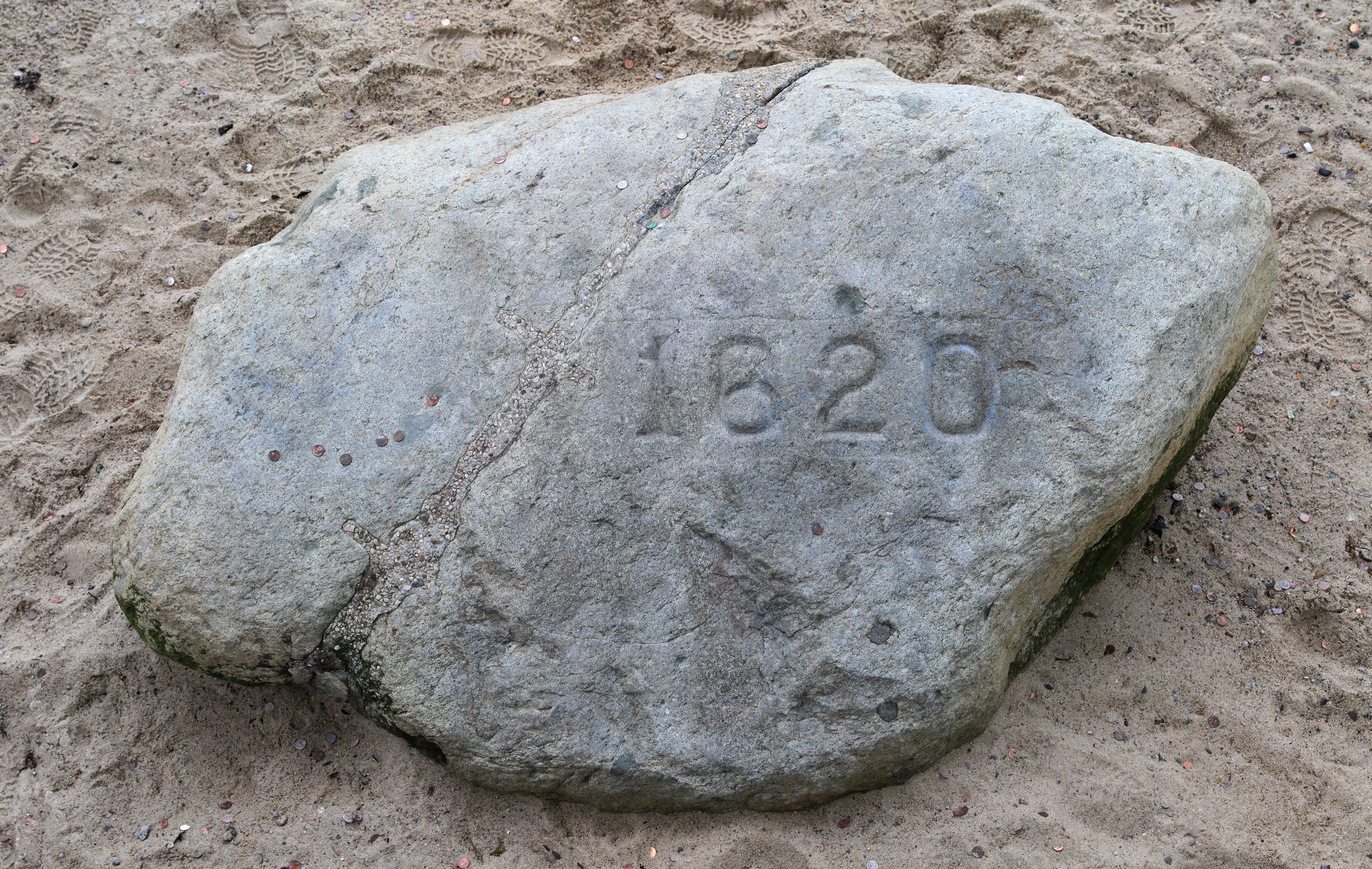
English:
Plymouth Rock
in
Plymouth, Massachusetts
, the traditional site of disembarkation of William Bradford and the
Mayflower
Pilgrims who founded
Plymouth Colony
in 1620. At the left of the rock can be seen where it was split in two in 1774, with the top part relocated to the town's meetinghouse. The two parts were later rejoined in 1880, at which time the date 1620 was inscribed into the rock. Plymouth, Massachusetts, USA.
|
|||
| Date | ||||
| Source | Own work | |||
| Author | jjron | |||
|
Permission
( Reusing this file ) |
|
| Camera location |
|
View this and other nearby images on: OpenStreetMap |
|
|---|
Licensing
I, the copyright holder of this work, hereby publish it under the following license:

|
Permission is granted to copy, distribute and/or modify this document under the terms of the GNU Free Documentation License , Version 1.2 only as published by the Free Software Foundation ; with no Invariant Sections, no Front-Cover Texts, and no Back-Cover Texts. A copy of the license is included in the section entitled GNU Free Documentation License . | 1.2 only |