Porte_Saint-Denis_01.jpg

Size of this preview:
800 × 600 pixels
.
Other resolutions:
320 × 240 pixels
|
640 × 480 pixels
|
1,024 × 768 pixels
|
1,280 × 960 pixels
|
2,560 × 1,920 pixels
|
4,900 × 3,675 pixels
.
Summary
| Description |
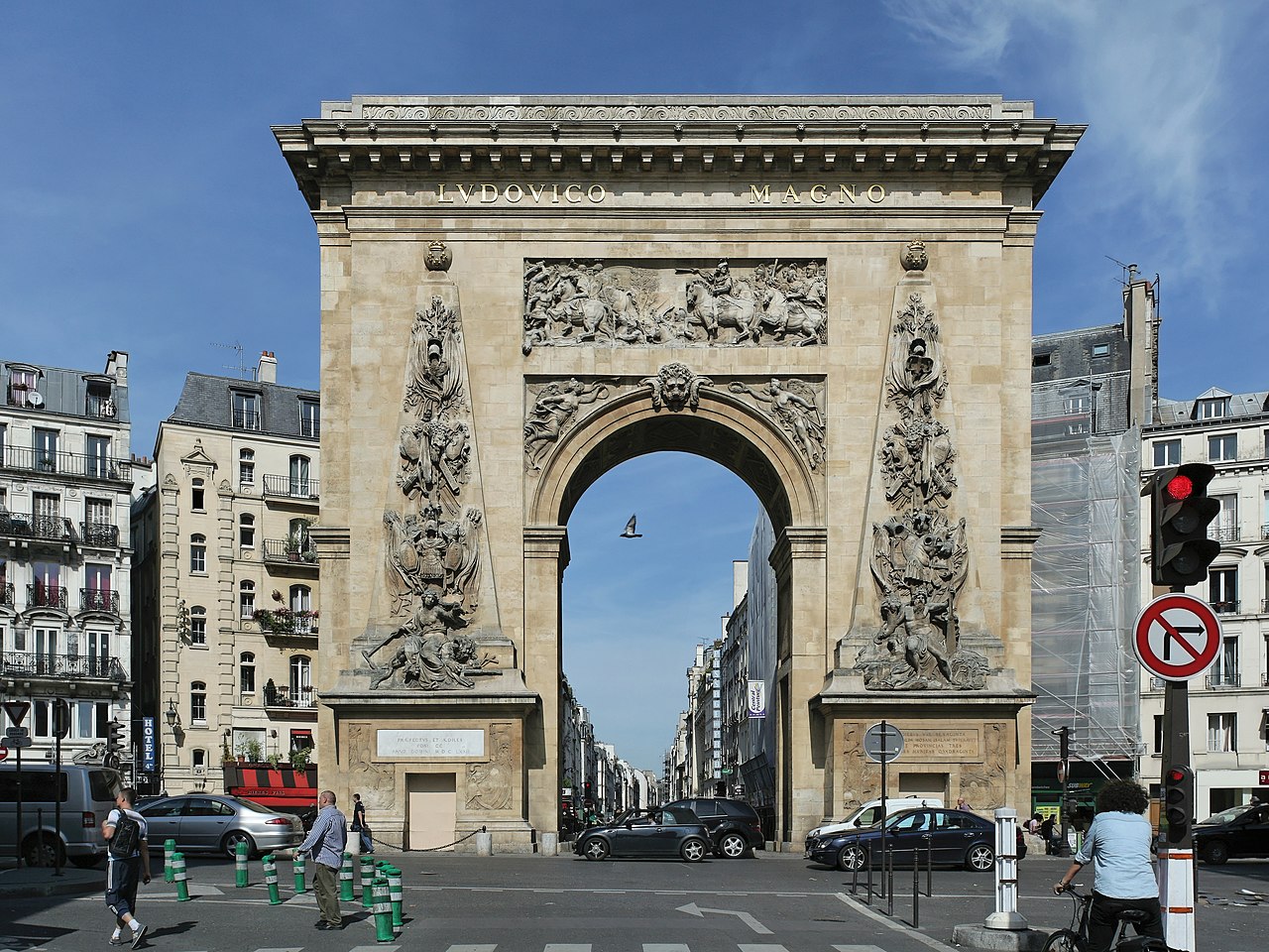
English:
Porte Saint-Denis in Paris, from the South.
Français :
Porte Saint-Denis, Paris. Face sud, vue depuis la rue Saint-Denis.
|
| Date | |
| Source | Own work |
| Author | |
|
Attribution
( required by the license ) |
Coyau / Wikimedia Commons / |
| Camera location |
|
View this and other nearby images on: OpenStreetMap |
|
|---|
|
|
This image has been assessed using the
Quality image guidelines
and is considered a
Quality image
.
|

|
This image has been assessed under the valued image criteria and is considered the most valued image on Commons within the scope: Porte Saint-Denis . You can see its nomination here . |

|
NOTE:
This image is a panorama consisting of 5 frames that were merged or stitched in software. As a result, this image necessarily underwent some form of digital manipulation. These manipulations may include blending, blurring, cloning, and colour and perspective adjustments. As a result of these adjustments, the image content may be slightly different from reality at the points where multiple images were combined. This manipulation is often required due to lens, perspective, and parallax distortions.
|
This image was created with
Hugin
.
Licensing
I, the copyright holder of this work, hereby publish it under the following licenses:

|
Permission is granted to copy, distribute and/or modify this document under the terms of the GNU Free Documentation License , Version 1.2 or any later version published by the Free Software Foundation ; with no Invariant Sections, no Front-Cover Texts, and no Back-Cover Texts. A copy of the license is included in the section entitled GNU Free Documentation License . |
This file is licensed under the
Creative Commons
Attribution-Share Alike
3.0 Unported
,
2.5 Generic
,
2.0 Generic
and
1.0 Generic
license.
-
You are free:
- to share – to copy, distribute and transmit the work
- to remix – to adapt the work
-
Under the following conditions:
- attribution – You must give appropriate credit, provide a link to the license, and indicate if changes were made. You may do so in any reasonable manner, but not in any way that suggests the licensor endorses you or your use.
- share alike – If you remix, transform, or build upon the material, you must distribute your contributions under the same or compatible license as the original.
You may select the license of your choice.
| Annotations | This image is annotated: View the annotations at Commons |