Portuguese_colonial_war_map1.PNG
No higher resolution available.

|
File:Portuguese colonial war blank map.svg
is a vector version of this file. It should be used in place of this PNG file when not inferior.
File:Portuguese colonial war map1.PNG →
File:Portuguese colonial war blank map.svg
For more information, see
Help:SVG
.
|

|
Summary
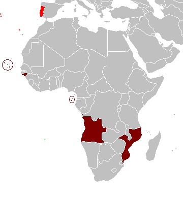
Map of the Portuguese colonies in Africa by the time of the Portuguese Colonial War (1961-1974).
Source
- English Wikipedia, uploaded by User:Mário
Revision history
12:19, 8 April 2006 . . Mário (Talk | contribs) . . 360×392 (12,409 bytes) (Map of the Portuguese colonies in Africa by the time of the Portuguese Colonial War (1961-1974).)
Licensing
|
|
I, the copyright holder of this work, release this work into the
public domain
. This applies worldwide.
In some countries this may not be legally possible; if so: I grant anyone the right to use this work for any purpose , without any conditions, unless such conditions are required by law. |