Qatar_in_Stielers_Handatlas_1891_59.JPG
Size of this preview:
384 × 599 pixels
.
Other resolutions:
154 × 240 pixels
|
411 × 641 pixels
.
Summary
| Description |
English:
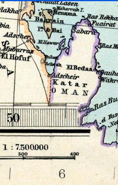
Qatar in "Iran and Turan Map by Adolf Stieler map 1891"
فارسی:
کشور قطر در
نقشه ایران و توران در دوره قاجاریه
|
||||||||||||||||||||||||||||||||||||||||||
| Date | |||||||||||||||||||||||||||||||||||||||||||
| Source | |||||||||||||||||||||||||||||||||||||||||||
| Author |
|
||||||||||||||||||||||||||||||||||||||||||


|
|
This is a
retouched picture
, which means that it has been digitally altered from its original version. The original can be viewed here:
Stielers Handatlas 1891 59.jpg
:
|
Licensing
|
|
This work is in the public domain in its country of origin and other countries and areas where the copyright term is the author's life plus 70 years or fewer . This work is in the public domain in the United States because it was published (or registered with the U.S. Copyright Office ) before January 1, 1929. |
| This file has been identified as being free of known restrictions under copyright law, including all related and neighboring rights. | |