Relief_map_of_USA_Alaska.png
No higher resolution available.
Summary
| Description |
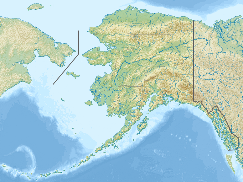
Русский:
Физическая карта Аляски.
Equirectangular projection, N/S stretching 210.0 %. Geographic limits of the map:
|
| Date | |
| Source |
|
| Author | Nzeemin |
| Other versions |
|

- Derivative works of this file: Attu Island-HEB.jpg
- Derivative works of this file: Rat Islands-HEB.jpg
- Derivative works of this file: Agattu Island-HEB.jpg
Licensing
I, the copyright holder of this work, hereby publish it under the following license:
This file is licensed under the
Creative Commons
Attribution-Share Alike 3.0 Unported
license.
-
You are free:
- to share – to copy, distribute and transmit the work
- to remix – to adapt the work
-
Under the following conditions:
- attribution – You must give appropriate credit, provide a link to the license, and indicate if changes were made. You may do so in any reasonable manner, but not in any way that suggests the licensor endorses you or your use.
- share alike – If you remix, transform, or build upon the material, you must distribute your contributions under the same or compatible license as the original.