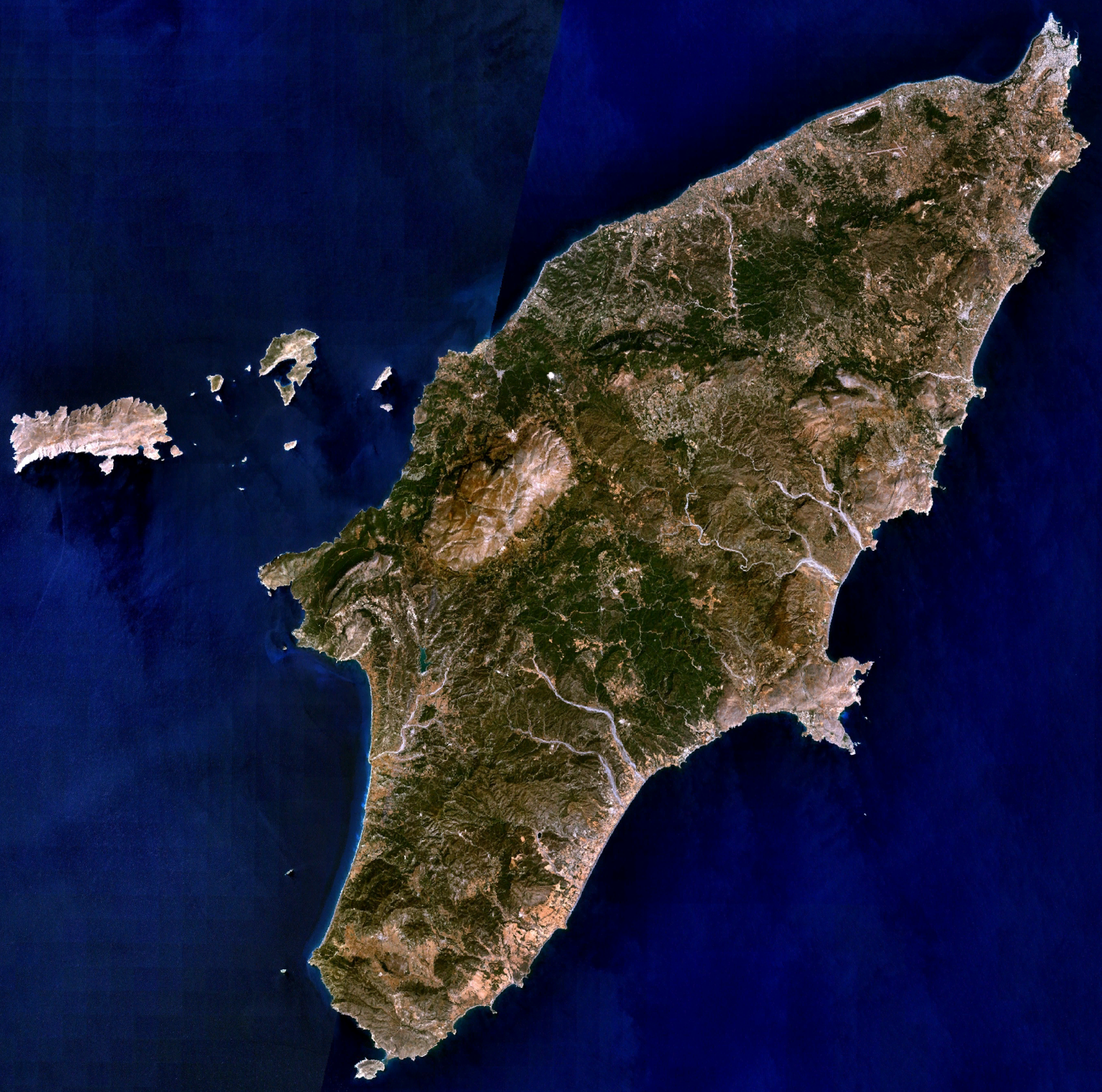
Rhodes_NLT_Landsat7.png
Size of this preview:
605 × 600 pixels
.
Other resolutions:
242 × 240 pixels
|
484 × 480 pixels
|
775 × 768 pixels
|
1,033 × 1,024 pixels
|
1,948 × 1,931 pixels
.
| Description | Visible colour satellite image of Rhodes. | |||
| Source |
Screenshot from NASA World Wind, NLT Landsat7 layer. Coordinates: worldwind://goto/world=Earth&lat=36.16654&lon=27.93315&alt=80698 |
|||
| Author | Photograph: NASA | |||
|
Permission
( Reusing this file ) |
|
|||
| Other versions | Image:Rodas.png |
