River_Great_Ouse_map.png

Size of this preview:
800 × 588 pixels
.
Other resolutions:
320 × 235 pixels
|
640 × 471 pixels
|
1,024 × 753 pixels
|
1,280 × 941 pixels
|
2,003 × 1,473 pixels
.
Summary
| Description |
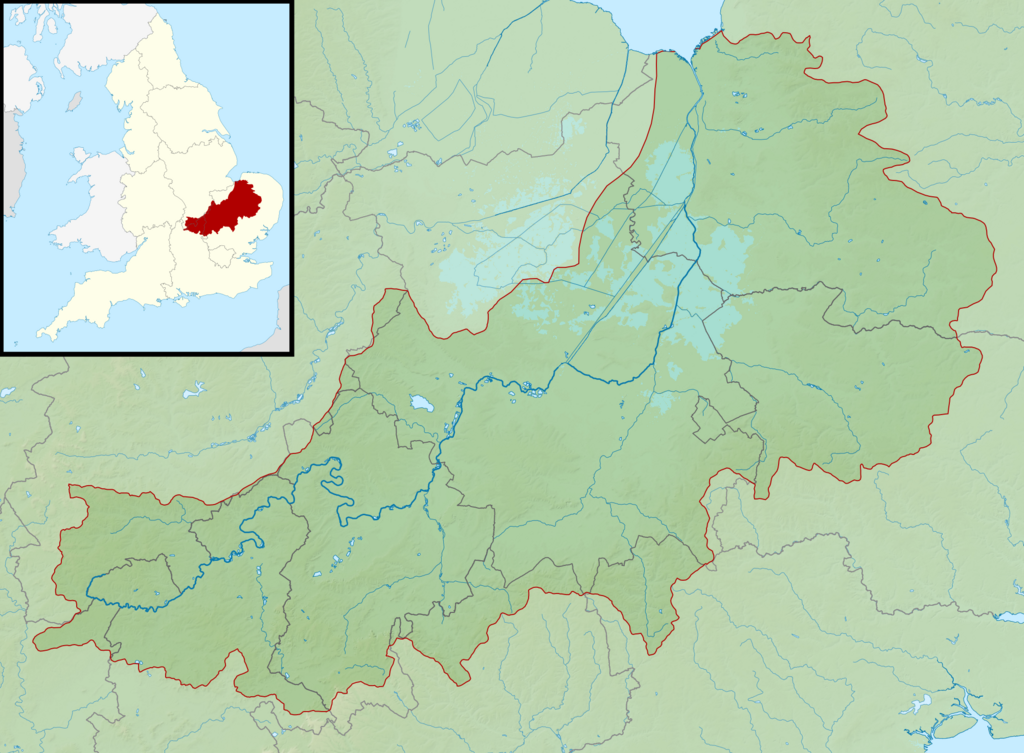
English:
Map of the River Great Ouse and its catchment in England.
Map is on British National Grid with limits at grid refs SK4535 (top left), TG1535 (top right), SP4510 (bottom left), TM1510 (bottom right).
|
| Date | |
| Source |
|
| Author | Nilfanion , created using Ordnance Survey data |
|
Permission
( Reusing this file ) |
This file is licensed under the
Creative Commons
Attribution-Share Alike 3.0 Unported
license.
Attribution:
Contains Ordnance Survey data © Crown copyright and database right
|