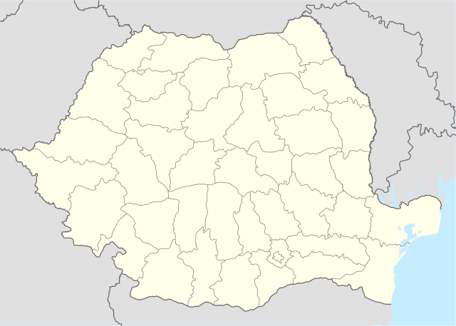
Romania_location_map.svg

Size of this PNG preview of this SVG file:
800 × 572 pixels
.
Other resolutions:
320 × 229 pixels
|
640 × 458 pixels
|
1,024 × 732 pixels
|
1,280 × 915 pixels
|
2,560 × 1,831 pixels
|
1,611 × 1,152 pixels
.
Summary
| Description |
Deutsch:
Positionskarte von
Rumänien
Quadratische Plattkarte, N-S-Streckung 140 %. Geographische Begrenzung der Karte:
English:
Location map of
Romania
Equirectangular projection, N/S stretching 140 %. Geographic limits of the map:
|
| Date | |
| Source | own work, using United States National Imagery and Mapping Agency data |
| Author | NordNordWest |
| Other versions |
|


|
This map has been made or improved in the German
Kartenwerkstatt
(Map Lab)
. You can
propose maps
to improve as well.
|
Licensing
I, the copyright holder of this work, hereby publish it under the following licenses:

|
Permission is granted to copy, distribute and/or modify this document under the terms of the GNU Free Documentation License , Version 1.2 or any later version published by the Free Software Foundation ; with no Invariant Sections, no Front-Cover Texts, and no Back-Cover Texts. A copy of the license is included in the section entitled GNU Free Documentation License . |
This file is licensed under the
Creative Commons
Attribution-Share Alike 3.0 Unported
license.
-
You are free:
- to share – to copy, distribute and transmit the work
- to remix – to adapt the work
-
Under the following conditions:
- attribution – You must give appropriate credit, provide a link to the license, and indicate if changes were made. You may do so in any reasonable manner, but not in any way that suggests the licensor endorses you or your use.
- share alike – If you remix, transform, or build upon the material, you must distribute your contributions under the same or compatible license as the original.
You may select the license of your choice.