Seaforth_Docks.jpg
No higher resolution available.
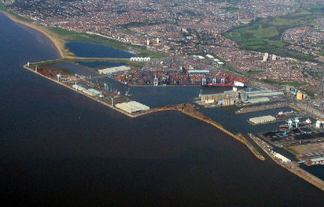
| Description | Aerial photo of the Seaforth Docks, in Crosby, Merseyside, England. |
| Date | Taken 25 September, 2006. |
| Source |
This file was derived from:
Aerial photo of Seaforth Docks - geograph.org.uk - 611876.jpg
|
| Author | Peter Craine |
|
Permission
( Reusing this file ) |
This file is licensed under the
Creative Commons
Attribution-Share Alike 2.0 Generic
license.
Attribution:
Peter Craine
|
| Object location |
|
View this and other nearby images on: OpenStreetMap |
|
|---|
_heading:45.00&language=en)