Siberian_Cities_Map.svg

Size of this PNG preview of this SVG file:
800 × 367 pixels
.
Other resolutions:
320 × 147 pixels
|
640 × 294 pixels
|
1,024 × 470 pixels
|
1,280 × 587 pixels
|
2,560 × 1,175 pixels
|
974 × 447 pixels
.
Summary
English:
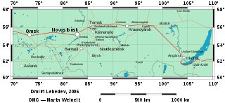
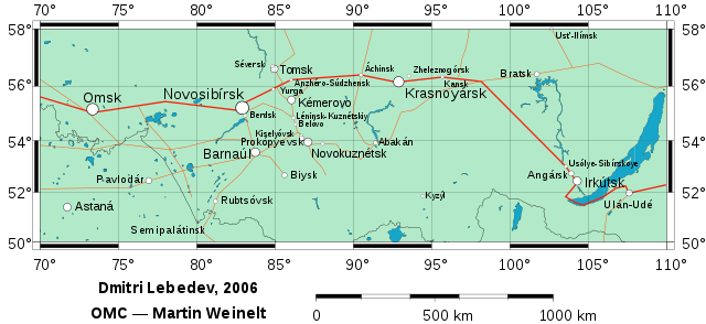
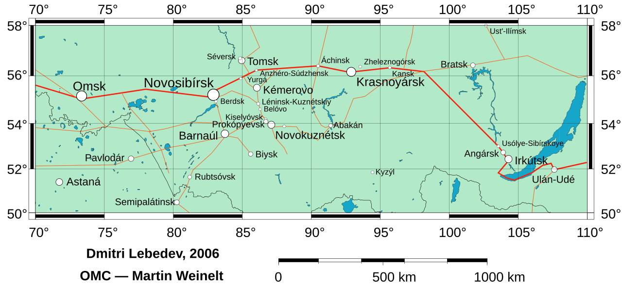
The cities of Siberia, from 80,000 inhabitants and above.
open the SVG file
to click on the cities' names, which will open their pages in the English wikipedia. The areas of circles and font size indicate the population number. The accent marks are shown in the city names, although they aren't used in everyday writing. The red lines are railways, the thick one roughly represents
Trans-Siberian Railway
.
The original version of this map
- with relief background images and rivers.
Русский:
См. эту же карту на русском в файле
Image:Карта городов Сибири.svg
.
Italiano:
Vedi l'immagine
Image:Mappa delle citta siberiane.svg
per la versione e descrizione italiana.
Licensing
|
|
I, the copyright holder of this work, release this work into the
public domain
. This applies worldwide.
In some countries this may not be legally possible; if so: I grant anyone the right to use this work for any purpose , without any conditions, unless such conditions are required by law. |