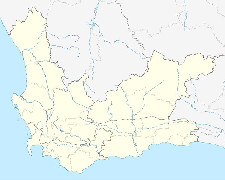
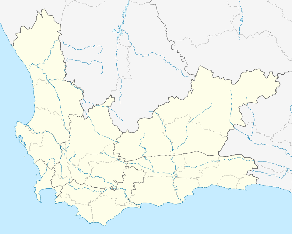
South_Africa_Western_Cape_location_map.svg

Size of this PNG preview of this SVG file:
749 × 600 pixels
.
Other resolutions:
300 × 240 pixels
|
600 × 480 pixels
|
959 × 768 pixels
|
1,279 × 1,024 pixels
|
2,558 × 2,048 pixels
|
1,214 × 972 pixels
.
Summary
| Description |
English:
Location map of the
Western Cape
Equirectangular projection, N/S stretching 118%. Geographic limits of the map:
|
| Date | |
| Source |
|
| Author | Htonl |
|
Permission
( Reusing this file ) |
I, the copyright holder of this work, hereby publish it under the following license:
This file is licensed under the
Creative Commons
Attribution-Share Alike 3.0 Unported
license.
|
| Other versions | File:South Africa Western Cape relief location map.svg , File:Blank map of the Western Cape (2011).svg |
.svg)