Spaghetti-Junction-Crop.jpg
Size of this preview:
800 × 462 pixels
.
Other resolutions:
320 × 185 pixels
|
640 × 370 pixels
|
938 × 542 pixels
.
Summary
| Camera location |
|
View this and other nearby images on: OpenStreetMap |
|
|---|
| Description |
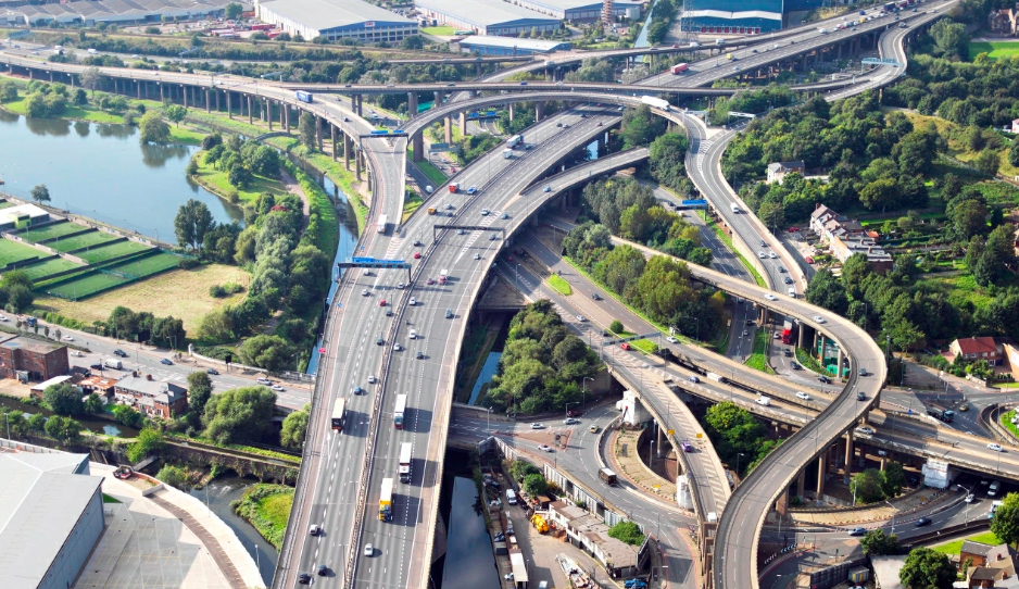
English:
Aerial view of
Gravelly Hill Interchange
,
w:Birmingham
a.k.a. Spaghetti Junction, September 2008.
|
| Date | |
| Source | Own work derived from File:Aerial view of M6A38 Spaghetti Junction.jpg , whose license permits such derivative work when properly credited |
| Author | Original - Highways Agency photo on flickr |
Image cropped to focus on junction itself, and levels optimised.
Licensing
Derivative work of original published under
This file is licensed under the
Creative Commons
Attribution 2.0 Generic
license.
-
You are free:
- to share – to copy, distribute and transmit the work
- to remix – to adapt the work
-
Under the following conditions:
- attribution – You must give appropriate credit, provide a link to the license, and indicate if changes were made. You may do so in any reasonable manner, but not in any way that suggests the licensor endorses you or your use.