Stockport_bus_station_-_geograph.org.uk_-_1413991_cropped.jpg
Size of this preview:
800 × 456 pixels
.
Other resolutions:
320 × 182 pixels
|
640 × 365 pixels
|
930 × 530 pixels
.
| Description |
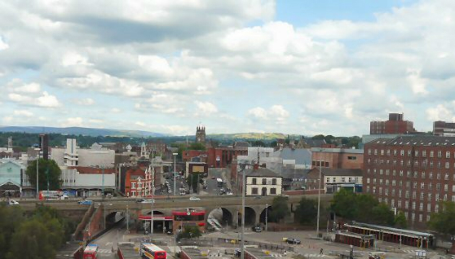
English:
Stockport bus station
,
Stockport
,
Greater Manchester
, England as viewed from the viaduct.
Another view
. In mid-distance is
St Mary's church
and to the right is the
Hat Museum
.
|
| Date | |
| Source |
This file was derived from:
Stockport bus station - geograph.org.uk - 1413991.jpg
|
| Author |
|
|
Attribution
( required by the license ) |
Gerald England / Stockport bus station / |
| Camera location |
|
View this and other nearby images on: OpenStreetMap |
|
|---|
|
|
This is a
retouched picture
, which means that it has been digitally altered from its original version. Modifications:
cropped
. The original can be viewed here:
Stockport bus station - geograph.org.uk - 1413991.jpg
:
|
This file is licensed under the
Creative Commons
Attribution-Share Alike 2.0 Generic
license.
Attribution:
Gerald England
-
You are free:
- to share – to copy, distribute and transmit the work
- to remix – to adapt the work
-
Under the following conditions:
- attribution – You must give appropriate credit, provide a link to the license, and indicate if changes were made. You may do so in any reasonable manner, but not in any way that suggests the licensor endorses you or your use.
- share alike – If you remix, transform, or build upon the material, you must distribute your contributions under the same or compatible license as the original.
Original upload log
This image is a derivative work of the following images:
- File:Stockport_bus_station_-_geograph.org.uk_-_1413991.jpg licensed with Cc-by-sa-2.0, Geograph
Uploaded with derivativeFX