Stockport_viaduct_M60.jpg

Size of this preview:
800 × 600 pixels
.
Other resolutions:
320 × 240 pixels
|
640 × 480 pixels
|
1,024 × 768 pixels
|
1,280 × 960 pixels
|
2,272 × 1,704 pixels
.
Summary
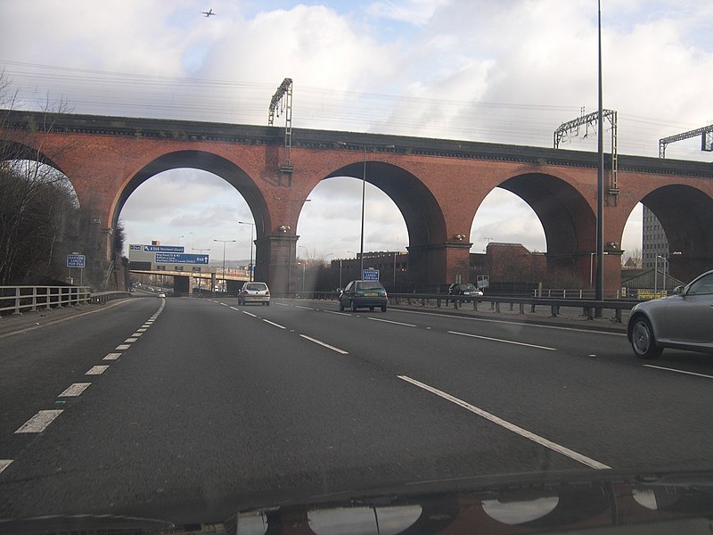
| Description | The M60 in Stockport as it passes under the viaduct |
| Date | |
| Source | https://www.flickr.com/photos/eifion/89654729/ |
| Author | Eifion |
|
Permission
( Reusing this file ) |
Creative Commons 2.0 |
| Camera location |
|
View this and other nearby images on: OpenStreetMap |
|
|---|
Licensing
This file is licensed under the
Creative Commons
Attribution-Share Alike 2.0 Generic
license.
-
You are free:
- to share – to copy, distribute and transmit the work
- to remix – to adapt the work
-
Under the following conditions:
- attribution – You must give appropriate credit, provide a link to the license, and indicate if changes were made. You may do so in any reasonable manner, but not in any way that suggests the licensor endorses you or your use.
- share alike – If you remix, transform, or build upon the material, you must distribute your contributions under the same or compatible license as the original.

|
When this file was uploaded to Wikimedia Commons, it was available from Flickr under the stated license. The Flickr user has since stopped distributing the file under this license. As Creative Commons licenses cannot be revoked in this manner, the file is still free to use under the terms of the license specified. See the Creative Commons FAQ on
revoking licensing
.
|
|
|
This image, originally posted to Flickr , was reviewed on 2 October 2006 by the administrator or reviewer Para , who confirmed that it was available on Flickr under the stated license on that date. The license originally specified when this image was uploaded to Commons was cc-by-sa-2.5 . It is unknown whether this license was valid at that time. |