Stockton-on-Tees,_Durham_UK_locator_map.svg

Size of this PNG preview of this SVG file:
800 × 524 pixels
.
Other resolutions:
320 × 210 pixels
|
640 × 419 pixels
|
1,024 × 671 pixels
|
1,280 × 839 pixels
|
2,560 × 1,678 pixels
|
1,425 × 934 pixels
.
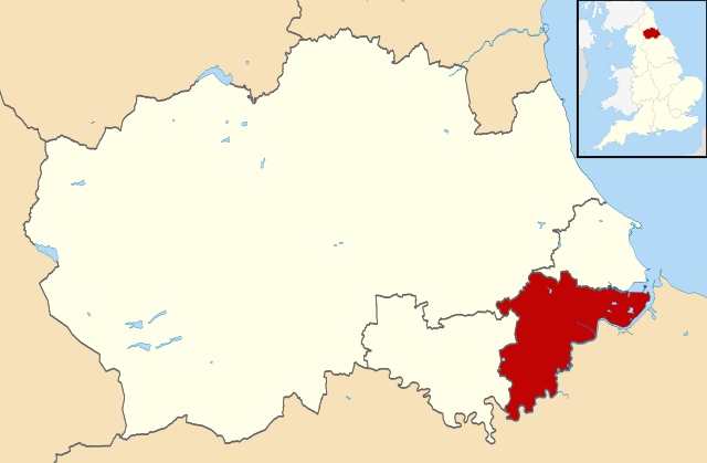
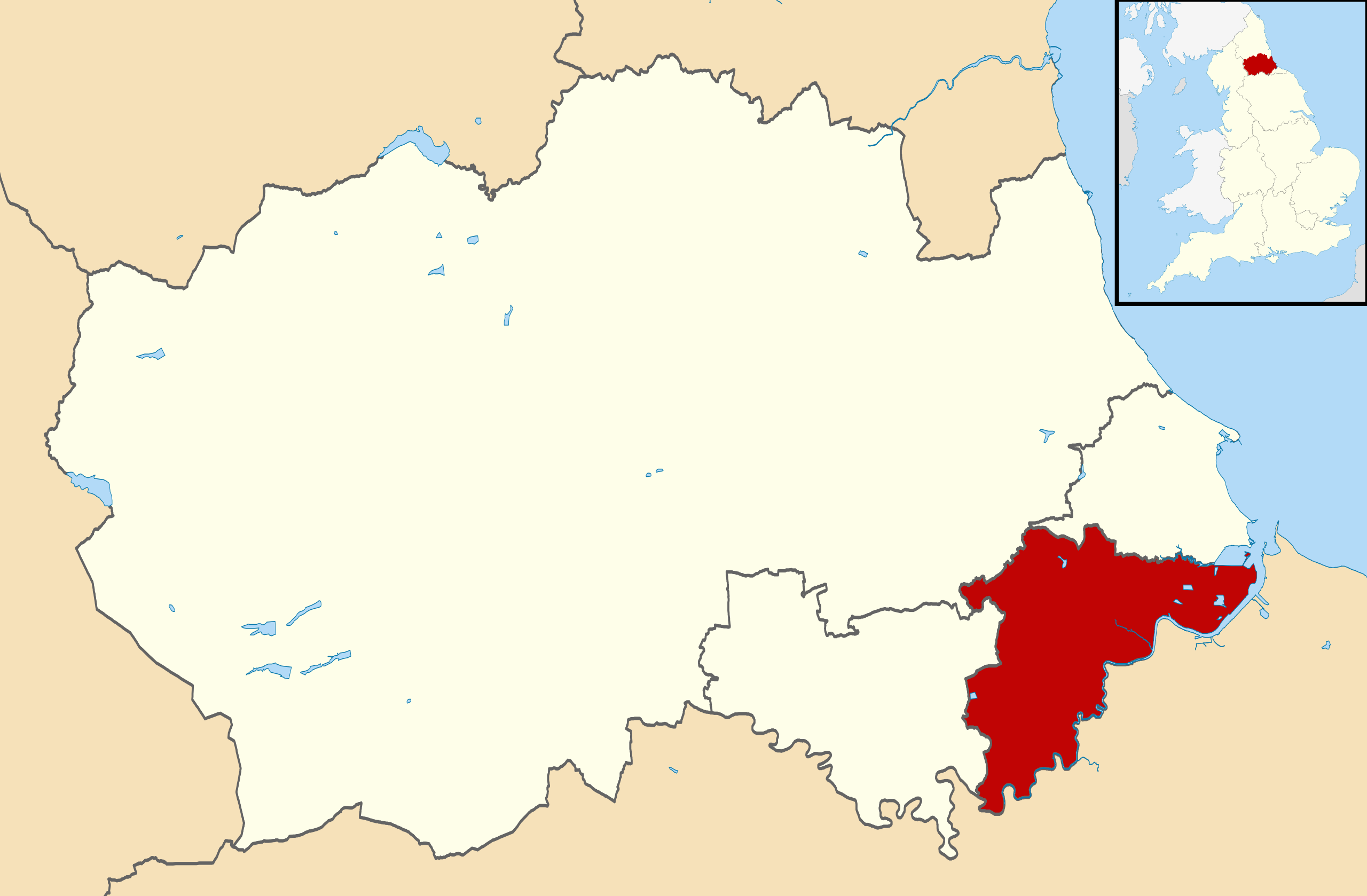
| Description | Map of County Durham, with Stockton-on-Tees highlighted. |
| Date | (UTC) |
| Source | |
| Author |
|
.svg)
I, the copyright holder of this work, hereby publish it under the following license:
This file is licensed under the
Creative Commons
Attribution-Share Alike 3.0 Unported
license.
-
You are free:
- to share – to copy, distribute and transmit the work
- to remix – to adapt the work
-
Under the following conditions:
- attribution – You must give appropriate credit, provide a link to the license, and indicate if changes were made. You may do so in any reasonable manner, but not in any way that suggests the licensor endorses you or your use.
- share alike – If you remix, transform, or build upon the material, you must distribute your contributions under the same or compatible license as the original.
Original upload log
This image is a derivative work of the following images:
-
File:Durham UK district map (blank).svg
licensed with Cc-by-sa-3.0
- 2010-08-22T08:06:14Z Nilfanion 1425x934 (774245 Bytes) +inset, water colour tweak
- 2010-07-16T23:25:00Z Nilfanion 1425x934 (407898 Bytes) {{Information |Description=Map of [[w:County Durham|County Durham]], UK with districts shown. Equirectangular map projection on WGS 84 datum, with N/S stretched 160% Geographic limits: *West: 2.40W *East: 1.05W *North: 54.9