Subtropicalridge2000091412.jpg
No higher resolution available.
Summary
| Description |
English:
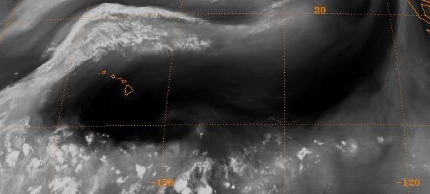
Water vapor imagery depiction of the subtropical ridge
National Climatic Data Center's GIBBS satellite archive ftp://eclipse.ncdc.noaa.gov/pub/isccp/b1/.D2790P/images/2000/258/Img-2000-09-14-12-GOE-10-WV.jpg |
| Source | NOAA |
| Author | NOAA |
Licensing
|
|
This image is in the
public domain
because it contains materials that originally came from the U.S.
National Oceanic and Atmospheric Administration
, taken or made as part of an employee's official duties.
|
|
Original upload log
The original description page was
here
. All following user names refer to en.wikipedia.
- 2007-02-11 14:35 Thegreatdr 622×282× (26734 bytes) Water vapor imagery depiction of the subtropical ridge National Climatic Data Center's GIBBS satellite archive ftp://eclipse.ncdc.noaa.gov/pub/isccp/b1/.D2790P/images/2000/258/Img-2000-09-14-12-GOE-10-WV.jpg