Suriname_relief_location_map.jpg

Size of this preview:
587 × 599 pixels
.
Other resolutions:
235 × 240 pixels
|
470 × 480 pixels
|
725 × 740 pixels
.
Summary
| Description |
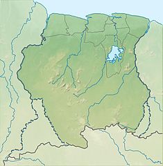
Deutsch:
Positionskarte von
Suriname
Quadratische Plattkarte. Geographische Begrenzung der Karte:
English:
Location map of
Suriname
Equirectangular projection. Geographic limits of the map:
|
| Date | (UTC) |
| Source |
This file was derived from: |
| Author |
|
Licensing
This file is licensed under the
Creative Commons
Attribution-Share Alike 3.0 Unported
license.
-
You are free:
- to share – to copy, distribute and transmit the work
- to remix – to adapt the work
-
Under the following conditions:
- attribution – You must give appropriate credit, provide a link to the license, and indicate if changes were made. You may do so in any reasonable manner, but not in any way that suggests the licensor endorses you or your use.
- share alike – If you remix, transform, or build upon the material, you must distribute your contributions under the same or compatible license as the original.
Original upload log
This image is a derivative work of the following images:
- File:Guiana_shield_map-fr.svg licensed with Cc-by-sa-3.0,2.5,2.0,1.0, GFDL
- File:Suriname_location_map.svg licensed with Cc-by-sa-3.0, GFDL
Uploaded with derivativeFX