Sydney_Areas_Map.svg

Size of this PNG preview of this SVG file:
600 × 600 pixels
.
Other resolutions:
240 × 240 pixels
|
480 × 480 pixels
|
768 × 768 pixels
|
1,024 × 1,024 pixels
|
2,048 × 2,048 pixels
|
850 × 850 pixels
.
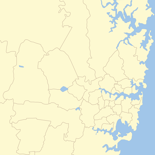
| Description | == Map of Sydney with Local Government areas borders marked. |
| Date | (UTC) |
| Source | |
| Author |
|
|
|
This is a
retouched picture
, which means that it has been digitally altered from its original version. Modifications:
cropping on Sydney area, Removal of names.
. The original can be viewed here:
New South Wales Local Government Areas.svg
:
|
I, the copyright holder of this work, hereby publish it under the following licenses:
|
|
This file is licensed under the Creative Commons Attribution-Share Alike 3.0 Unported license. | |
|
||
| This licensing tag was added to this file as part of the GFDL licensing update . |

|
Permission is granted to copy, distribute and/or modify this document under the terms of the GNU Free Documentation License , Version 1.2 or any later version published by the Free Software Foundation ; with no Invariant Sections, no Front-Cover Texts, and no Back-Cover Texts. A copy of the license is included in the section entitled GNU Free Documentation License . |
You may select the license of your choice.
Original upload log
This image is a derivative work of the following images:
-
File:New_South_Wales_Local_Government_Areas.svg
licensed with Cc-by-sa-3.0-migrated, GFDL
- 2007-03-19T10:32:11Z Roke 2715x1461 (409360 Bytes) fix hunters hill
- 2007-03-08T08:52:17Z Roke 2715x1461 (408167 Bytes) [[w:Local Government Areas of New South Wales|Local Government Areas of New South Wales]]. Reference: [http://www.dotars.gov.au/local/publications/index.aspx Local Government Publications] {{Aus LGA maps}} {{inkscape}} [[C
Uploaded with derivativeFX