Syria_districts.png

Size of this preview:
800 × 564 pixels
.
Other resolutions:
320 × 226 pixels
|
640 × 451 pixels
|
1,024 × 722 pixels
|
1,228 × 866 pixels
.
Summary
| Description |
English:
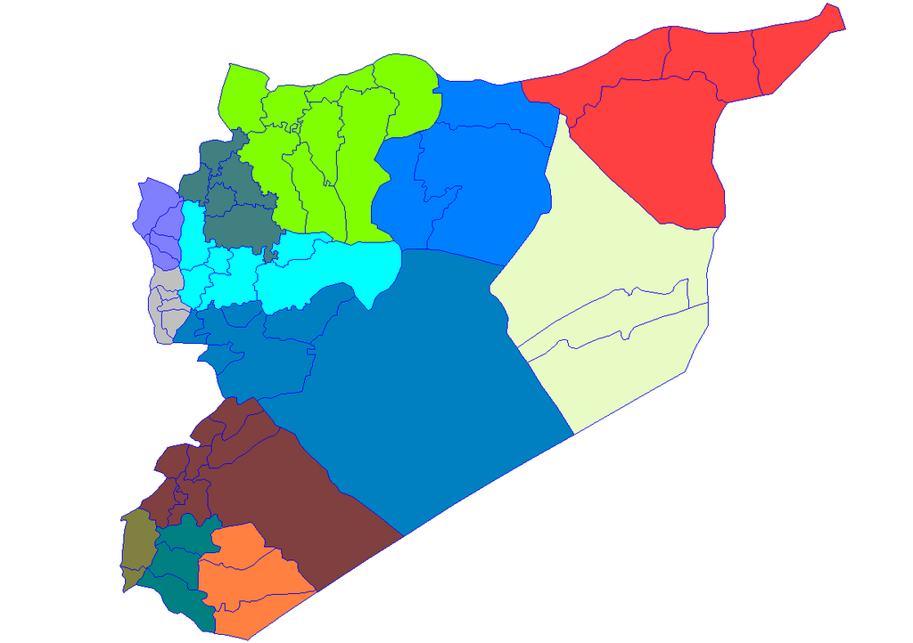
Historic map of the districts of Syria. It does not show districts that have been created since 2007, eg, Atarib, Dayr Hafir and Qudsaya.
|
||
| Date | |||
| Source | Created by Rarelibra 15:51, 8 May 2007 (UTC) for public domain use, using MapInfo Professional v8.5 and various mapping resources. | ||
| Author | Rarelibra | ||
|
Permission
( Reusing this file ) |
|