Tashigang_Dzong_111120.jpg
Size of this preview:
800 × 530 pixels
.
Other resolutions:
320 × 212 pixels
|
640 × 424 pixels
|
1,024 × 678 pixels
|
1,280 × 848 pixels
|
2,560 × 1,696 pixels
|
4,928 × 3,264 pixels
.
Summary
| Description |
English:
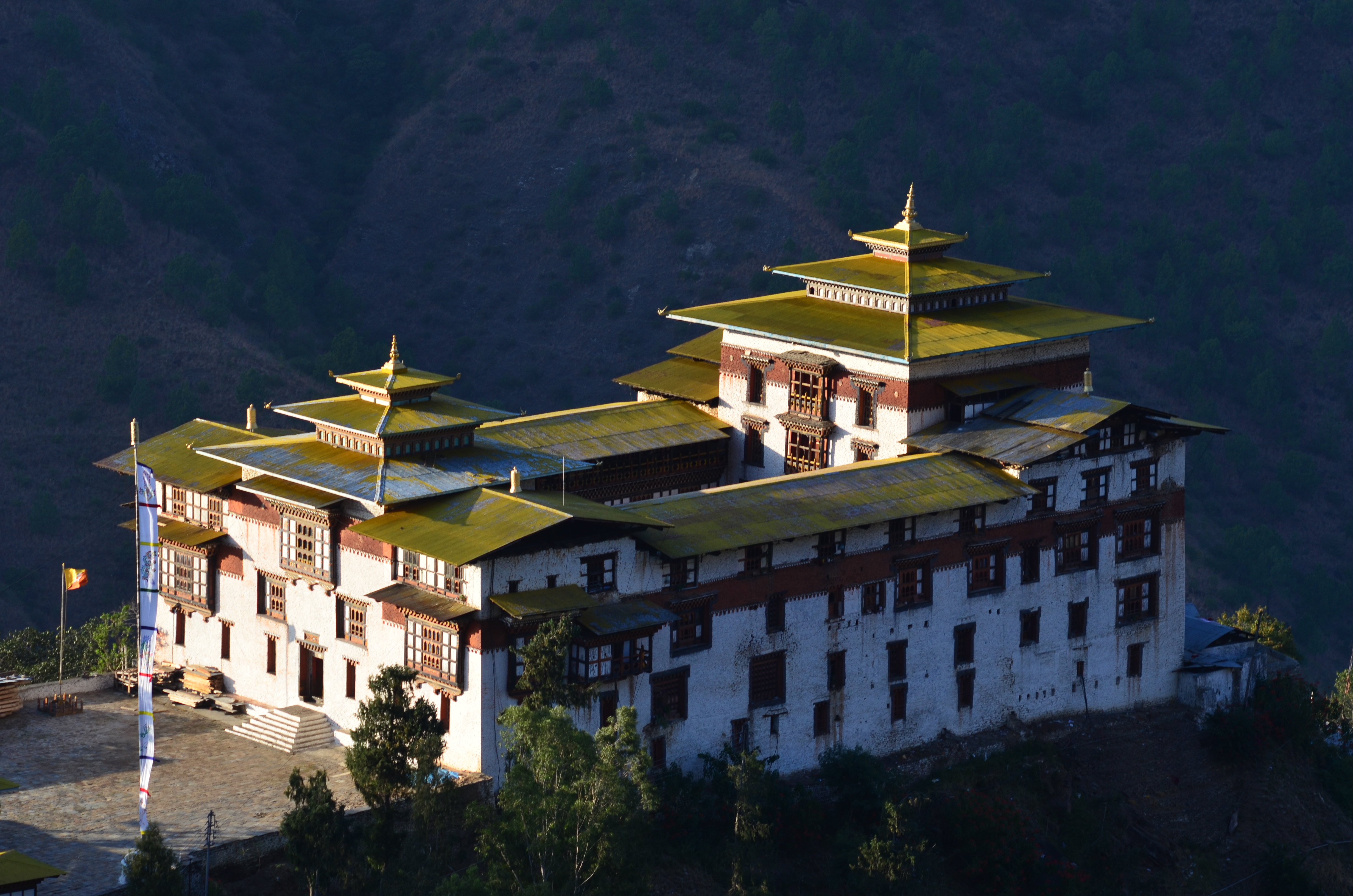
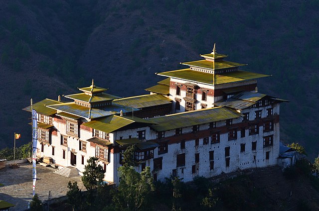
Dzong at Tashigang, Bhutan. NW corner viewed from Tashigang town.
|
| Date | |
| Source | Own work |
| Author | Christopher J. Fynn |
|
Attribution
( required by the license ) |
© Christopher J. Fynn / Wikimedia Commons / |
| Object location |
|
View this and other nearby images on: OpenStreetMap |
|
|---|
Licensing
I, the copyright holder of this work, hereby publish it under the following license:
This file is licensed under the
Creative Commons
Attribution-Share Alike 3.0 Unported
license.
-
You are free:
- to share – to copy, distribute and transmit the work
- to remix – to adapt the work
-
Under the following conditions:
- attribution – You must give appropriate credit, provide a link to the license, and indicate if changes were made. You may do so in any reasonable manner, but not in any way that suggests the licensor endorses you or your use.
- share alike – If you remix, transform, or build upon the material, you must distribute your contributions under the same or compatible license as the original.

|
This image has been assessed under the valued image criteria and is considered the most valued image on Commons within the scope: Trashigang Dzong , NW corner viewed . You can see its nomination here . |