Thailand_BMNG.png

Size of this preview:
405 × 599 pixels
.
Other resolutions:
162 × 240 pixels
|
324 × 480 pixels
|
519 × 768 pixels
|
692 × 1,024 pixels
|
1,950 × 2,884 pixels
.
|
|
This image is in the
public domain
because it is a screenshot from
NASA
’s globe software
World Wind
using a public domain layer, such as Blue Marble, MODIS, Landsat, SRTM, USGS or GLOBE.
|

|
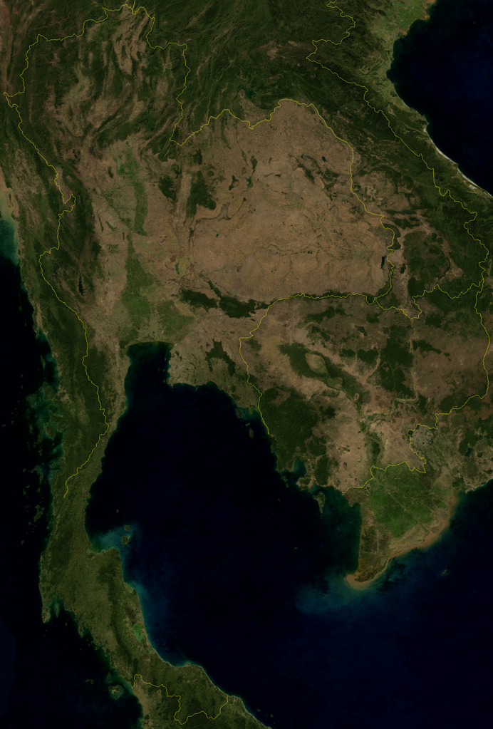
Satellite image of Thailand in January 2004.
Screenshot from NASA World Wind, Blue Marble Next-Generation layer.