The_col_(6073968059).jpg
Size of this preview:
800 × 450 pixels
.
Other resolutions:
320 × 180 pixels
|
640 × 360 pixels
|
1,024 × 576 pixels
|
1,280 × 720 pixels
|
2,048 × 1,152 pixels
.
Summary
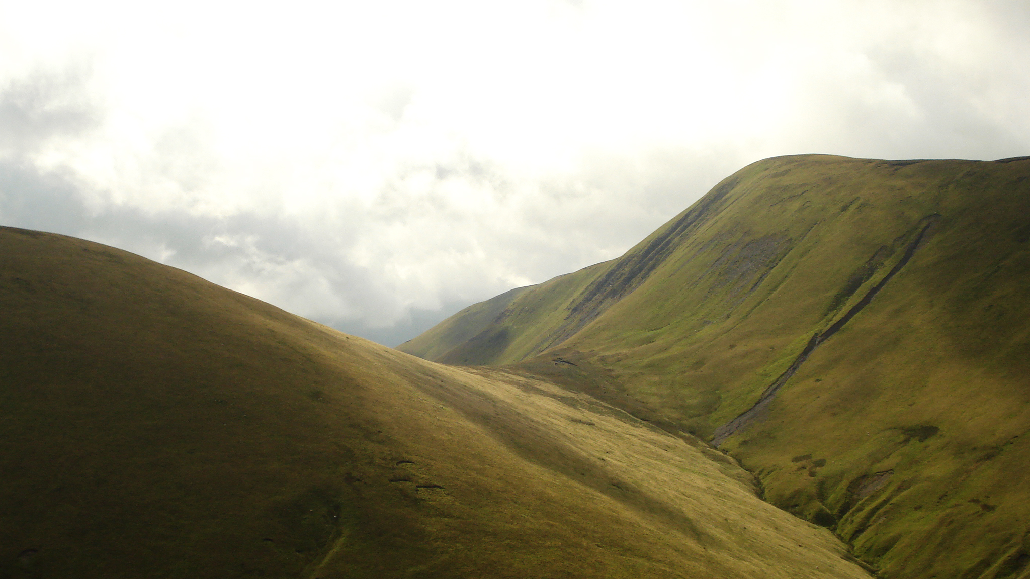
| Description | The perfect example of a col - a high pass between two mountains - with Kensgriff on the left and Yarlside on the right. Taken in the Howgills on the steep descent from Randygill Top into Bowderdale. |
| Date | |
| Source | The col |
| Author | Peer Lawther from Leeds, United Kingdom |
| Camera location |
|
View this and other nearby images on: OpenStreetMap |
|
|---|
.jpg¶ms=054.388754_N_-002.477416_E_globe:Earth_type:camera_source:Flickr_&language=en)
Licensing
This file is licensed under the
Creative Commons
Attribution 2.0 Generic
license.
-
You are free:
- to share – to copy, distribute and transmit the work
- to remix – to adapt the work
-
Under the following conditions:
- attribution – You must give appropriate credit, provide a link to the license, and indicate if changes were made. You may do so in any reasonable manner, but not in any way that suggests the licensor endorses you or your use.
|
|
This image was originally posted to Flickr by walkinguphills at https://flickr.com/photos/99917955@N00/6073968059 . It was reviewed on 2 February 2019 by FlickreviewR 2 and was confirmed to be licensed under the terms of the cc-by-2.0. |