Topomapcropped.jpg
No higher resolution available.
Summary
| Description |
English:
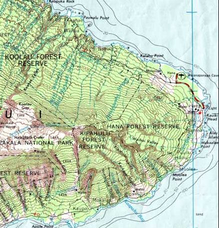
Cropped version of Image:HaleakalaMap.jpg for use in elevation
Español:
Versión recortada de Image: HaleakalaMap.jpg para usar en elevación (ubicación geográfica)
|
| Date | |
| Source | |
| Author | USGS |

Licensing
|
|
This image is in the
public domain
in the United States because it only contains materials that originally came from the
United States Geological Survey
, an agency of the
United States Department of the Interior
. For more information, see
the official USGS copyright policy
.
|
|
Original upload log
The original description page was
here
. All following user names refer to en.wikipedia.
- 2006-01-15 16:23 Circeus 438×456× (80921 bytes) Cropped version of [[:Image:HaleakalaMap.jpg]] for use in [[elevation]]