Tower_of_London_EN.png
Size of this preview:
800 × 554 pixels
.
Other resolutions:
320 × 222 pixels
|
640 × 443 pixels
|
1,024 × 709 pixels
|
1,280 × 886 pixels
|
1,724 × 1,194 pixels
.
Summary
| Description |
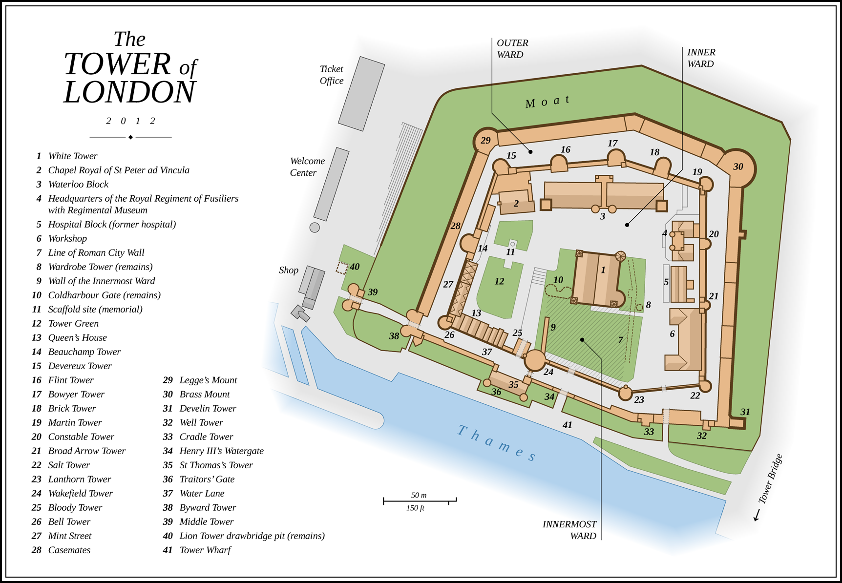
English:
Map of the
Tower of London
(English version)
Deutsch:
Karte des
Tower of London
(Englische Version)
|
| Date | |
| Source |
Own work Map created using:
|
| Author | Thoroe |
| Other versions |
Please use PNG versions in articles:
|


| Object location |
|
View this and other nearby images on: OpenStreetMap |
|
|---|

|
This map has been made or improved in the German
Kartenwerkstatt
(Map Lab)
. You can
propose maps
to improve as well.
|
Licensing
This file is licensed under the
Creative Commons
Attribution-Share Alike 3.0 Unported
license.
Attribution:
Thomas Römer
-
You are free:
- to share – to copy, distribute and transmit the work
- to remix – to adapt the work
-
Under the following conditions:
- attribution – You must give appropriate credit, provide a link to the license, and indicate if changes were made. You may do so in any reasonable manner, but not in any way that suggests the licensor endorses you or your use.
- share alike – If you remix, transform, or build upon the material, you must distribute your contributions under the same or compatible license as the original.
| Annotations | This image is annotated: View the annotations at Commons |

.jpg)


.jpg)


.JPG)