Trier_Porta_Nigra_BW_1.JPG

Size of this preview:
800 × 547 pixels
.
Other resolutions:
320 × 219 pixels
|
640 × 437 pixels
|
1,024 × 700 pixels
|
1,280 × 875 pixels
|
2,560 × 1,750 pixels
|
3,728 × 2,548 pixels
.
Njoönböblhbjöoböojhüokhüojhpijbpijbpojbpobpij
Summary
| Description |
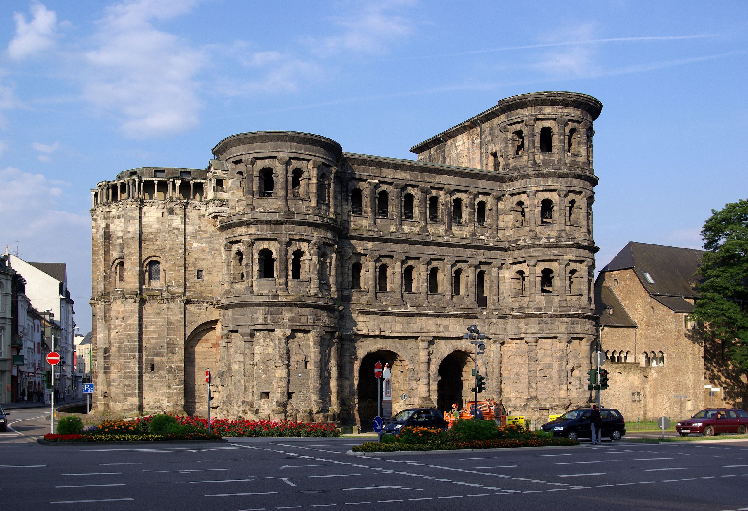
Deutsch:
Porta Nigra in Trier, besterhaltenes römisches Bauwerk nördlich der Alpen, UNESCO Weltkulturerbe,
English:
Porta Nigra (Black Gate) in Trier, Germany, best preserved Roman building north of the Alps, and World Heritage Site of UNESCO
Français :
La
Porta Nigra
(« Porte Noire ») de
Trèves
, en Allemagne, est le bâtiment romain le mieux préservé au nord des Alpes, et un site classé au
Patrimoine mondial de l'UNESCO
.
Español:
La
Porta Nigra
(Puerta Negra) de
Tréveris
(Alemania) es la construcción romana mejor conservada al norte de los Alpes. Pertenece al
Patrimonio mundial de la UNESCO
.
|
| Date | |
| Source | Own work |
| Author | Berthold Werner |
| Camera location |
|
View this and other nearby images on: OpenStreetMap |
|
|---|
Licensing
|
|
I, the copyright holder of this work, release this work into the
public domain
. This applies worldwide.
In some countries this may not be legally possible; if so: I grant anyone the right to use this work for any purpose , without any conditions, unless such conditions are required by law. |
|
|
This image has been assessed using the
Quality image guidelines
and is considered a
Quality image
.
|
| This image is a former valued image on Wikimedia Commons within the scope : Porta Nigra . You can see the original nomination and demotion here . |