TrondheimFromRoofOfNidarosdomen-improved.jpg
Size of this preview:
800 × 546 pixels
.
Other resolutions:
320 × 218 pixels
|
640 × 437 pixels
|
1,024 × 699 pixels
.
| Description |
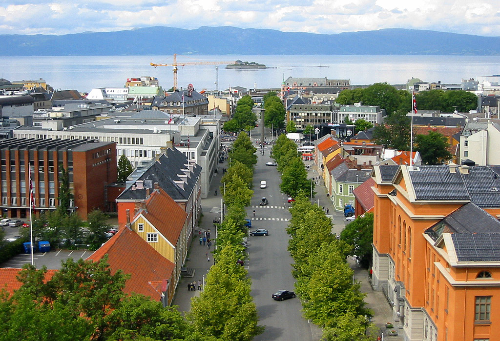
Improved version of Image:Trondheim from roof of cathedral.jpg . Cropped and corrected over-exposure. Taken from the tower of the , looking towards the and 's city centre. |
| Date | |
| Source | Image:Trondheim from roof of cathedral.jpg |
| Author | |
| Other versions | Image:Trondheim from roof of cathedral.jpg |
| Camera location |
|
View this and other nearby images on: OpenStreetMap |
|
|---|

|
Permission is granted to copy, distribute and/or modify this document under the terms of the GNU Free Documentation License , Version 1.2 or any later version published by the Free Software Foundation ; with no Invariant Sections, no Front-Cover Texts, and no Back-Cover Texts. A copy of the license is included in the section entitled GNU Free Documentation License . |
|
|
This file is licensed under the Creative Commons Attribution-Share Alike 3.0 Unported license. | |
|
||
| This licensing tag was added to this file as part of the GFDL licensing update . |