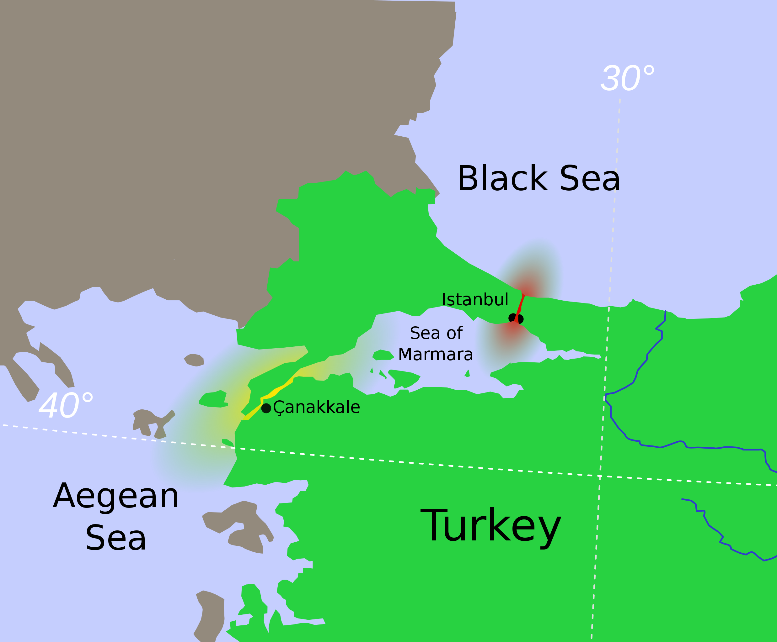
Turkish_Strait_disambig.svg

Size of this PNG preview of this SVG file:
469 × 388 pixels
.
Other resolutions:
290 × 240 pixels
|
580 × 480 pixels
|
928 × 768 pixels
|
1,238 × 1,024 pixels
|
2,476 × 2,048 pixels
.
Summary
| Description |
Hrvatski
:
Tjesnaci Bospor i Dardaneli
Türkçe
:
Türk Boğazların
ın harita üzerinde renkledirme ile açıklaması
Ελληνικά
:
τα Στενά του Βοσπόρου
Українська
:
Турецькі протоки.
Босфор
Дарданелли
मराठी
:
तुर्कस्तानमधील बोस्फोरस व डार्डेनेल्झ ह्या सामुद्रधुन्या
日本語
:
海峡地帯(トルコ)
|
||
| Date | |||
| Source | Modified from File:Vertrag sevres otoman.svg , created by Thomas Steiner . | ||
| Author | User:Interiot | ||
| Other versions |
[
]
|
||
| SVG development |


.svg)


Licensing
This file is licensed under the
Creative Commons
Attribution-Share Alike 2.5 Generic
license.
-
You are free:
- to share – to copy, distribute and transmit the work
- to remix – to adapt the work
-
Under the following conditions:
- attribution – You must give appropriate credit, provide a link to the license, and indicate if changes were made. You may do so in any reasonable manner, but not in any way that suggests the licensor endorses you or your use.
- share alike – If you remix, transform, or build upon the material, you must distribute your contributions under the same or compatible license as the original.
Original upload log
The original description page was
here
. All following user names refer to en.wikipedia.
- 2007-01-16 22:04 Interiot 469×388× (94044 bytes) oops
- 2007-01-16 20:59 Interiot 469×388× (122640 bytes) actually, make it clear that Istanbul straddles the strait
- 2007-01-16 20:47 Interiot 469×388× (90212 bytes) Disambiguation for [[Turkish Straights]]. Modified from [[:Image:Vertrag sevres otoman.svg]], created by [[:de:Benutzer:Thire|Thomas Steiner]]. {{cc-by-sa-2.5}}