USA_territorial_growth.gif

Size of this preview:
800 × 498 pixels
.
Other resolutions:
320 × 199 pixels
|
640 × 398 pixels
|
921 × 573 pixels
.
Summary
| Description |
English:
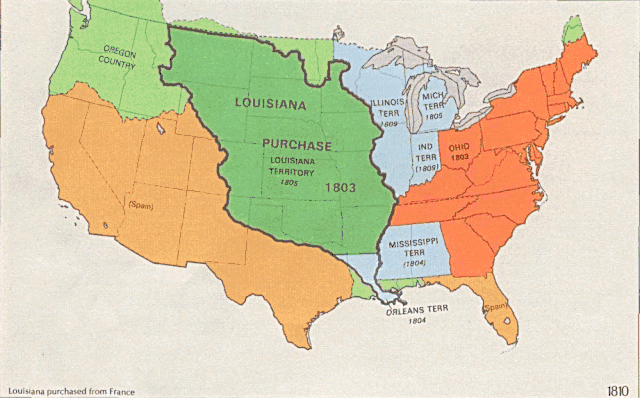
US territorial growth 1810–1920, based on the PD USGS maps in
Category:Territorial growth maps of the United States
.
See key below for explanation of colors. 
|
||||||
| Source |
|
||||||
| Author |
|
||||||
| Other versions |
|

Licensing
|
|
This image is in the
public domain
in the United States because it only contains materials that originally came from the
United States Geological Survey
, an agency of the
United States Department of the Interior
. For more information, see
the official USGS copyright policy
.
|
|