Uk-map.svg

Size of this PNG preview of this SVG file:
271 × 599 pixels
.
Other resolutions:
108 × 240 pixels
|
217 × 480 pixels
|
347 × 768 pixels
|
463 × 1,024 pixels
|
927 × 2,048 pixels
|
1,021 × 2,255 pixels
.
Summary
| Description |
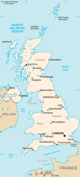
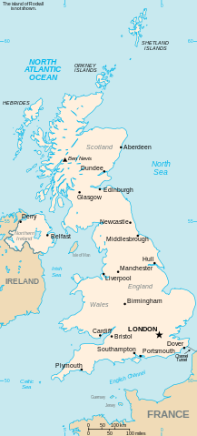
Vector version of CIA WorldBook map of the United Kingdom. Mercator projection. Vector information is from the CIA World DataBank II, and hence in the public domain. |
| Date | 23 July 2006 (original upload date) |
| Source | CIA World Factbook |
| Author | CIA |
| Other versions |
|


Licensing
|
|
This image is in the
public domain
because it contains materials that originally came from the United States
Central Intelligence Agency
's
World Factbook
.
|

|