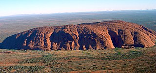
Uluru_(Helicopter_view)-crop.jpg

Size of this preview:
799 × 376 pixels
.
Other resolutions:
320 × 151 pixels
|
640 × 301 pixels
|
1,024 × 482 pixels
|
2,025 × 953 pixels
.
Summary
| Description |
English:
Helicopter view of Uluru/Ayers Rock. Cropped and colours enhanced for use in Infobox.
|
| Date | |
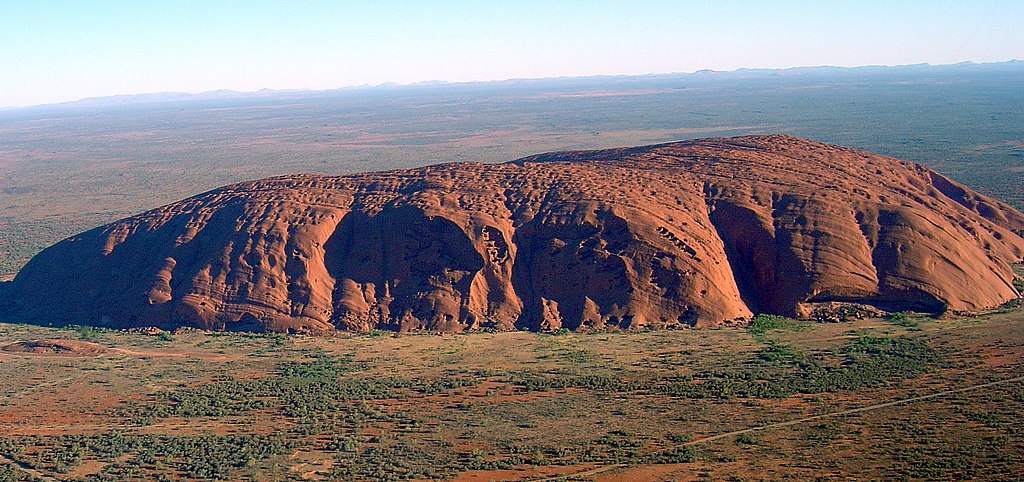
| Source | Modification of Image:Uluru (Helicopter view).jpg |
| Author | User:Huntster |
|
Permission
( Reusing this file ) |
Public domain |
| Other versions |
.jpg)
|
| Camera location |
|
View this and other nearby images on: OpenStreetMap |
|
|---|
-crop.jpg¶ms=-25.348889_N_0131.036389_E_globe:Earth_type:camera__&language=en)
Licensing
|
|
I, the copyright holder of this work, release this work into the
public domain
. This applies worldwide.
In some countries this may not be legally possible; if so: I grant anyone the right to use this work for any purpose , without any conditions, unless such conditions are required by law. |