Upwelling_image1.jpg
No higher resolution available.
Summary
| Description |
English:
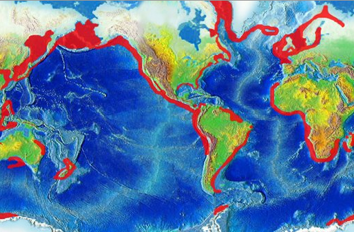
Global map highlighting areas of upwelling
|
| Date |
13 September 2008 (original upload date)
|
| Source | http://oceanservice.noaa.gov/education/kits/currents/media/upwelling_image1.jpg |
| Author | NOAA |
|
Permission
( Reusing this file ) |
US Federal Government |
Licensing
|
|
This image is in the
public domain
because it contains materials that originally came from the U.S.
National Oceanic and Atmospheric Administration
, taken or made as part of an employee's official duties.
|
|
Original upload log
Transferred from en.wikipedia to Commons by Wcam using CommonsHelper .
The original description page was
here
. All following user names refer to en.wikipedia.
- 2008-09-13 17:59 Mikiemike 514×337× (191795 bytes) {{Information |Description=Global map highlighting areas of upwelling |Source=http://oceanservice.noaa.gov/education/kits/currents/media/upwelling_image1.jpg |Date=9-13-08 |Author=NOAA |Permission=US Federal Government |other_versions= }}