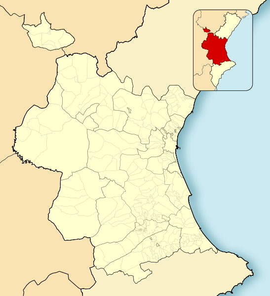
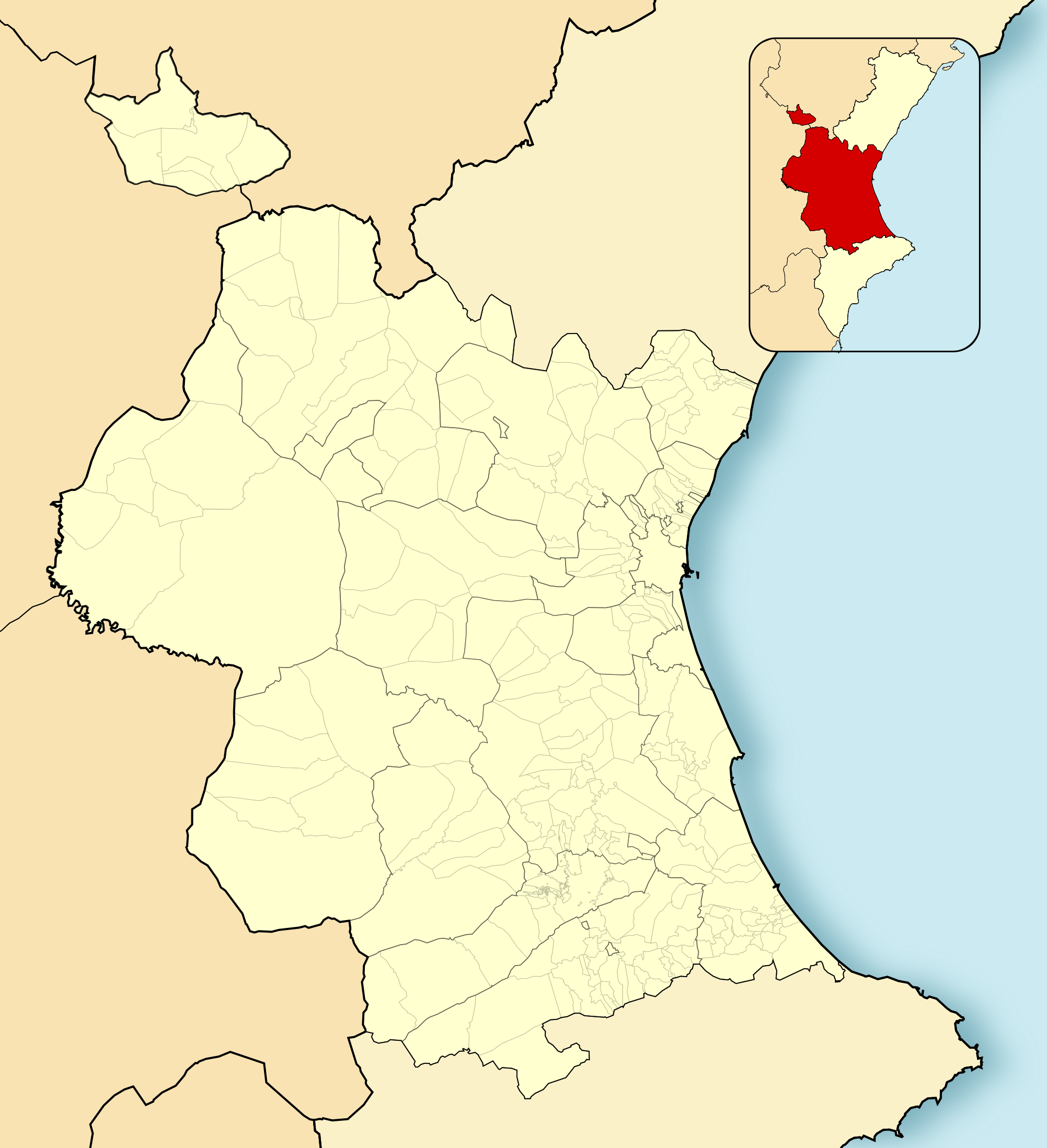
Valencia-loc.svg

Size of this PNG preview of this SVG file:
547 × 599 pixels
.
Other resolutions:
219 × 240 pixels
|
438 × 480 pixels
|
701 × 768 pixels
|
934 × 1,024 pixels
|
1,869 × 2,048 pixels
|
2,003 × 2,195 pixels
.
Summary
| Description |
English:
Location map of
Province of Valencia
Equirectangular projection, N/S stretching 130 %. Geographic limits of the map:
Español:
Mapa de localización de la
Provincia de Valencia
Proyección equirrectangular, N/S estirada 130 %. Límites geográficos del mapa:
|
|
| Date | ||
| Source | Own work based on: EspañaLoc.svg | |
| Author | Miguillen | |
| SVG development |
This W3C-
invalid
locator map
was created with
Adobe Illustrator
,
and with Inkscape.
|
Licensing
Miguillen
, the copyright holder of this work, hereby publishes it under the following license:
This file is licensed under the
Creative Commons
Attribution-Share Alike 3.0 Unported
license.
Attribution:
Miguillen
-
You are free:
- to share – to copy, distribute and transmit the work
- to remix – to adapt the work
-
Under the following conditions:
- attribution – You must give appropriate credit, provide a link to the license, and indicate if changes were made. You may do so in any reasonable manner, but not in any way that suggests the licensor endorses you or your use.
- share alike – If you remix, transform, or build upon the material, you must distribute your contributions under the same or compatible license as the original.