Warrington_UK_locator_map.svg

Size of this PNG preview of this SVG file:
778 × 599 pixels
.
Other resolutions:
312 × 240 pixels
|
623 × 480 pixels
|
997 × 768 pixels
|
1,280 × 986 pixels
|
2,560 × 1,973 pixels
|
1,425 × 1,098 pixels
.
| Description |
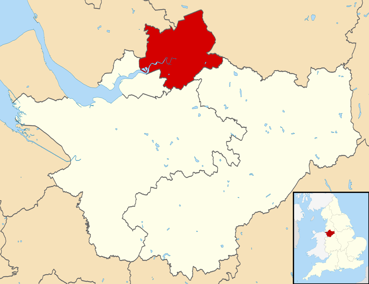
Map of Cheshire , UK with Warrington highlighted. Equirectangular map projection on WGS 84 datum, with N/S stretched 165% |
| Date | |
| Source | Ordnance Survey OpenData . Most data from Boundary-Line product. Lake data from Meridian 2 product. Inset derived from England location map.svg by Spischot . |
| Author | Nilfanion , created using Ordnance Survey data |
|
Permission
( Reusing this file ) |
This file is licensed under the
Creative Commons
Attribution-Share Alike 3.0 Unported
license.
Attribution:
Contains Ordnance Survey data © Crown copyright and database right
|