Watchtower_headquarters.jpg
No higher resolution available.
Summary
| Description |
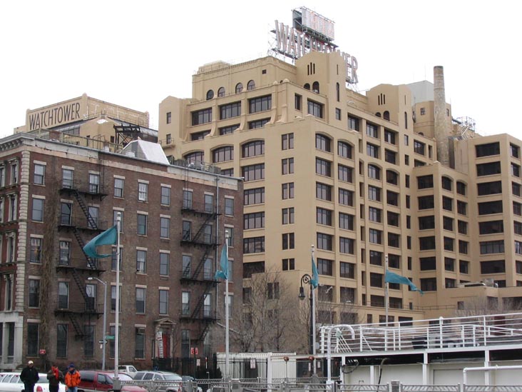
English:
Watch Tower Bible and Tract Society Headquarters.
|
| Source | http://www.bridgeandtunnelclub.com/bigmap/brooklyn/fultonferry/waterfront/ |
| Author | Unknown author |
| Camera location |
|
View this and other nearby images on: OpenStreetMap |
|
|---|
Licensing
This file is licensed under the
Creative Commons
Attribution 2.5 Generic
license.
-
You are free:
- to share – to copy, distribute and transmit the work
- to remix – to adapt the work
-
Under the following conditions:
- attribution – You must give appropriate credit, provide a link to the license, and indicate if changes were made. You may do so in any reasonable manner, but not in any way that suggests the licensor endorses you or your use.