WestBankGovernatesNonLabeled.png
Size of this preview:
297 × 600 pixels
.
Other resolutions:
119 × 240 pixels
|
238 × 480 pixels
|
648 × 1,308 pixels
.
| Description |
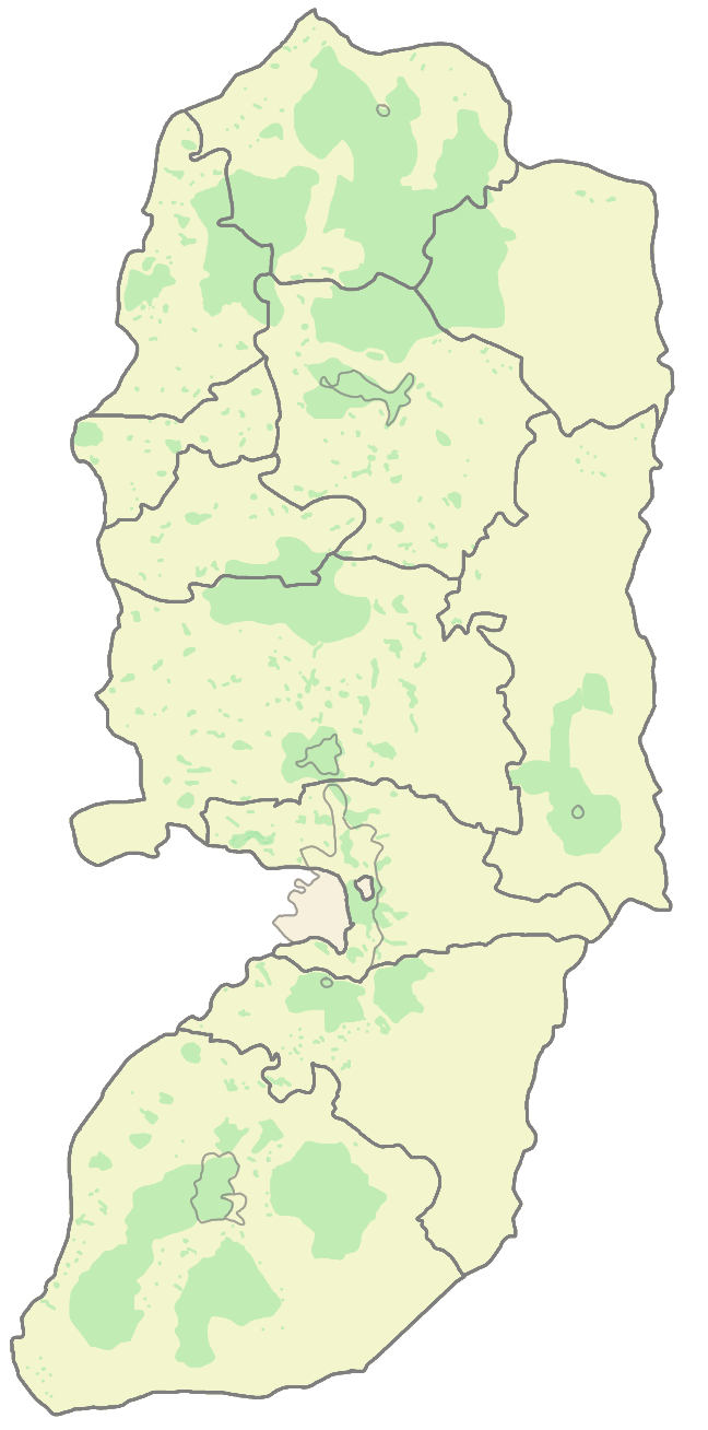
English:
West Bank
Areas designated area A (Under Palestinian Authority Control)
PA's Governorate boarders
العربية:
الضفة الغربية
مناطق A (تحت سيطرة السلطة الفلسطينية)
الحدود الإدارية لمحافظات السلطة الفلسطينية
|
|||||
| Source | Abnn - wikien | |||||
| Author | Abnn | |||||
| Other versions |
Derivative works of this file: WestBankGovernatesNonLabeled-2.png
|


|
This
map
image could be re-created
using
vector graphics
as an
SVG
file
. This has several advantages; see
Commons:Media for cleanup
for more information. If an SVG form of this image is available, please upload it and afterwards replace this template with
{{

vector version available

|

new image name

}}
.
It is recommended to name the SVG file “WestBankGovernatesNonLabeled.svg”—then the template Vector version available (or Vva ) does not need the new image name parameter. |
| Annotations | This image is annotated: View the annotations at Commons |