West_Midlands_County.png
Size of this preview:
800 × 582 pixels
.
Other resolutions:
320 × 233 pixels
|
640 × 466 pixels
|
1,024 × 745 pixels
|
1,280 × 931 pixels
|
2,560 × 1,862 pixels
|
3,358 × 2,443 pixels
.
Summary
| Description |
English:
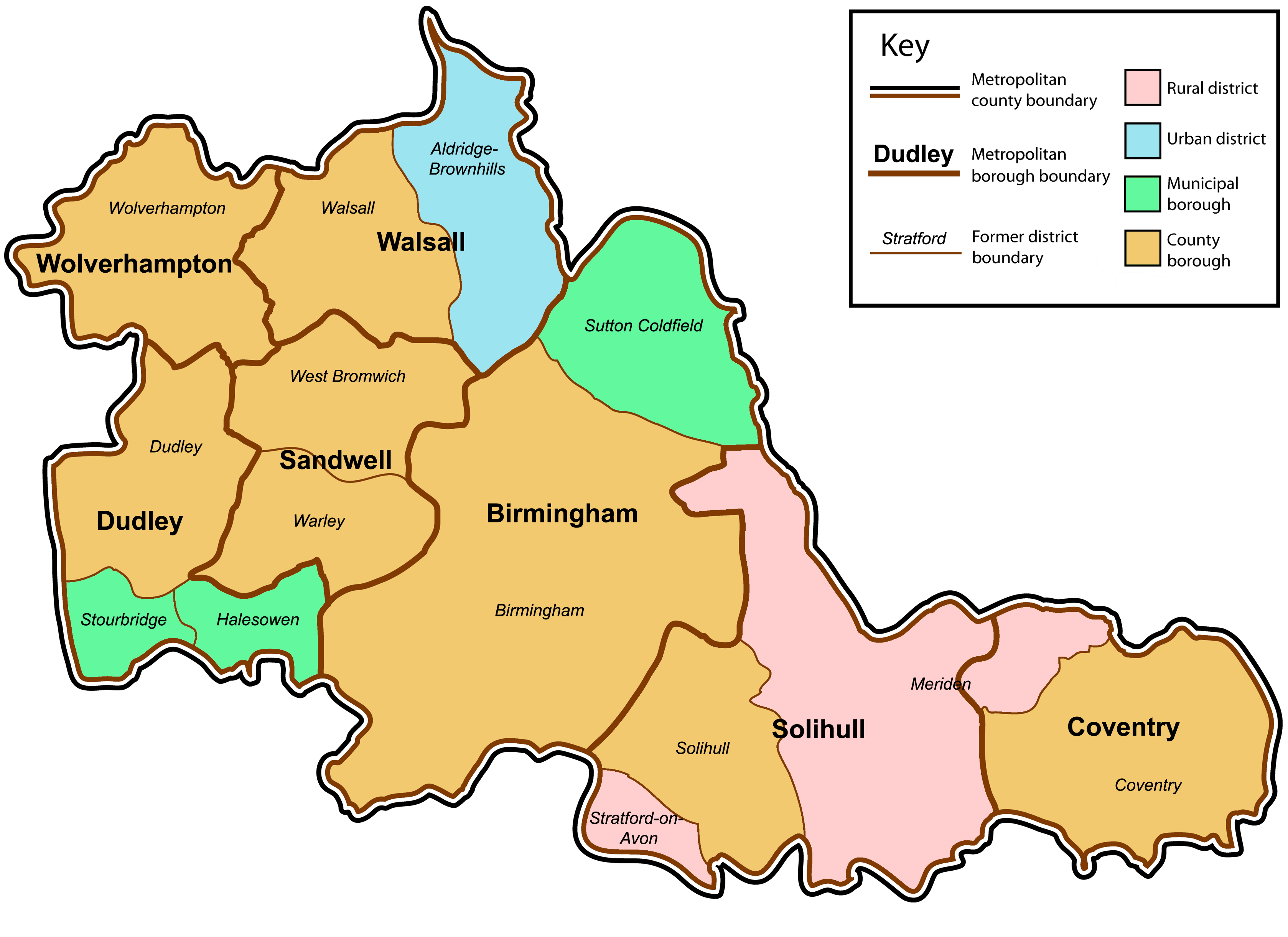
A map of the metropolitan county of West Midlands, England. This map shows former and modern district boundaries. For an explanation of the colours, see the key.
|
| Date | |
| Source | Own work by uploader. Content is verified at Her Majesty's Stationery Office (1974) Local Government in England and Wales: A Guide to the New System , London : HMSO ISBN : 0117508470 . |
| Author | Jza84 |
Licensing
|
|
I, the copyright holder of this work, release this work into the
public domain
. This applies worldwide.
In some countries this may not be legally possible; if so: I grant anyone the right to use this work for any purpose , without any conditions, unless such conditions are required by law. |