Western-mediterranean-rome-hadrian.jpg
No higher resolution available.
Summary
| Description |
English:
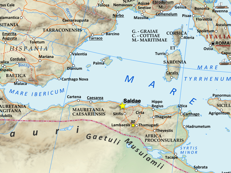
This is a map of the Western Roman empire around the Mediterranean, around the time of Hadrian in the 2nd century AD. It specifically shows Saldae, at this time an important port city, and later the capital of the Vandal Kingdom.
|
| Date | |
| Source | This is based on an existing Wikipedia image, which I cropped and altered to emphasize Saldae. I'm uploading my image under the same CCA-SA3+CFDL license the original file had |
| Author | Kazvorpal |
- Other information
English:
The original file I used was
https://en.wikipedia.org/wiki/File:Roman_Empire_125.png
Licensing
I, the copyright holder of this work, hereby publish it under the following licenses:

|
Permission is granted to copy, distribute and/or modify this document under the terms of the GNU Free Documentation License , Version 1.2 or any later version published by the Free Software Foundation ; with no Invariant Sections, no Front-Cover Texts, and no Back-Cover Texts. A copy of the license is included in the section entitled GNU Free Documentation License . |
This file is licensed under the
Creative Commons
Attribution-Share Alike 3.0 Unported
license.
-
You are free:
- to share – to copy, distribute and transmit the work
- to remix – to adapt the work
-
Under the following conditions:
- attribution – You must give appropriate credit, provide a link to the license, and indicate if changes were made. You may do so in any reasonable manner, but not in any way that suggests the licensor endorses you or your use.
- share alike – If you remix, transform, or build upon the material, you must distribute your contributions under the same or compatible license as the original.
You may select the license of your choice.