Wfm_ardnamurchan_landsat.jpg

Size of this preview:
800 × 593 pixels
.
Other resolutions:
320 × 237 pixels
|
640 × 474 pixels
|
1,024 × 758 pixels
|
1,280 × 948 pixels
.
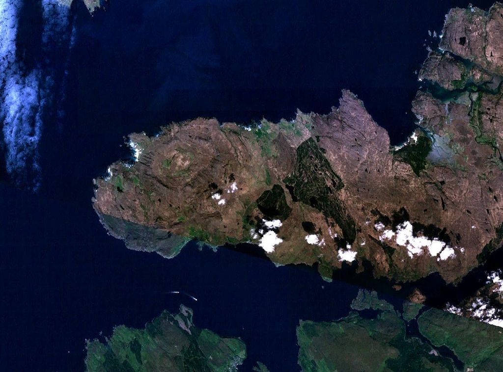
The Ardnamurchan peninsula in Scotland
NASA Landsat 7 image. Final image made using NASA World Wind .
|
|
This image is in the
public domain
because it is a screenshot from
NASA
’s globe software
World Wind
using a public domain layer, such as Blue Marble, MODIS, Landsat, SRTM, USGS or GLOBE.
|

|