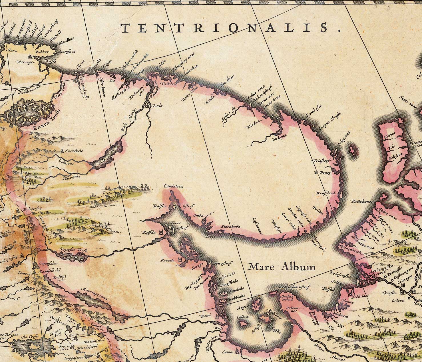
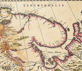
Whiteseamap.jpg
| Description |
English:
Map of the
White Sea
and adjacent regions. From the Dutch "Novus Atlas" (1635). Cartographer: Willem Janszoon Blaeu.
|
|||||||||||
| Source | http://biarmia.narod.ru/17.html Transferred from en.wikipedia to Commons by Hardscarf using CommonsHelper . | |||||||||||
| Author | ||||||||||||
|
Permission
( Reusing this file ) |
|
|||||||||||


Original upload log
- 2007-06-19 16:59 Ghirlandajo 1478×1267× (379069 bytes) Map of the [[White Sea]] and adjacent regions. From the Dutch "Novus Atlas" (1635). Cartographer: Willem Janszoon Blaeu. {{PD-art}} Source: http://biarmia.narod.ru/17.html