Williams-Point.jpg
Size of this preview:
800 × 599 pixels
.
Other resolutions:
320 × 240 pixels
|
640 × 479 pixels
|
1,024 × 766 pixels
|
1,280 × 958 pixels
|
2,608 × 1,952 pixels
.
Summary
| Description |
English:
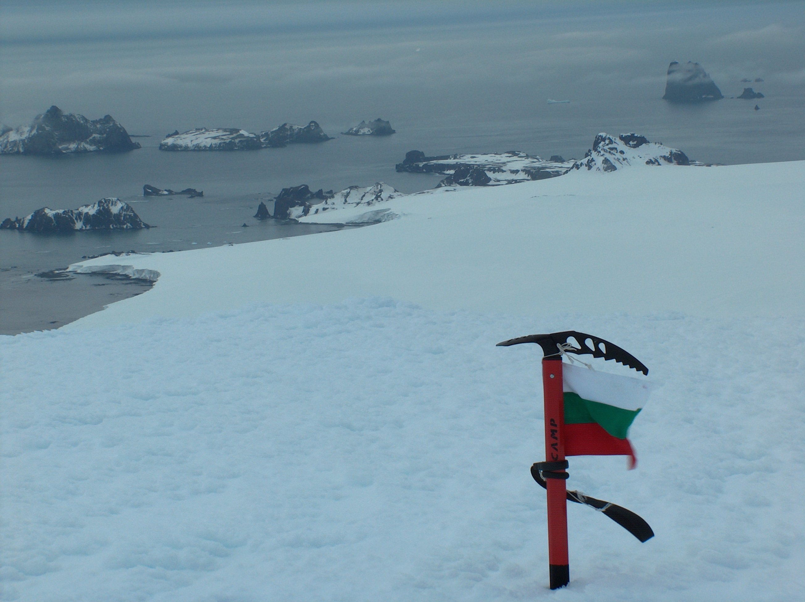
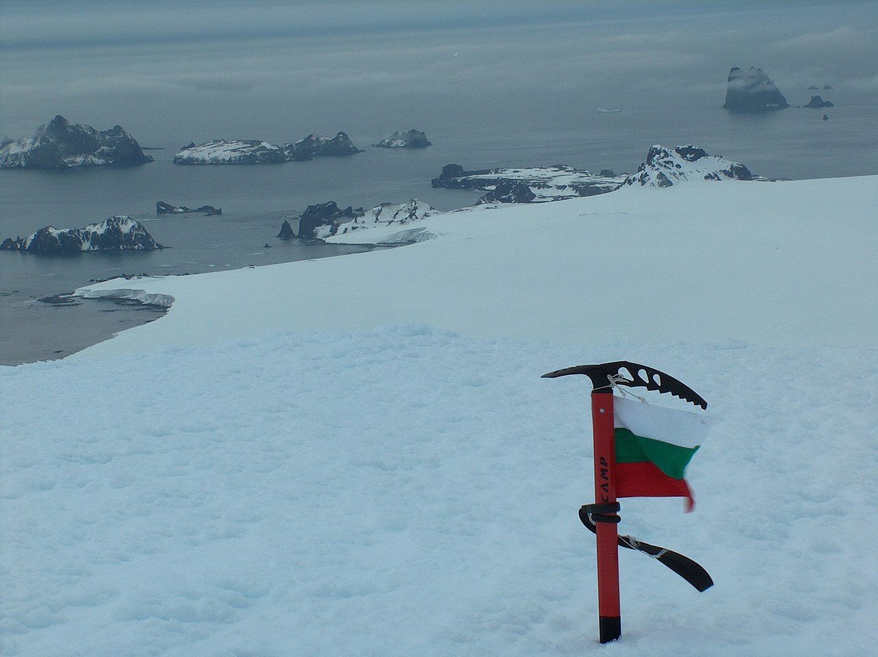
Williams Point
,
Livingston Island
in the
South Shetland Islands
; the first land ever discovered south of 60˚ south latitude, on February 19, 1819. Left to right
Slab Point
,
Organpipe Point
, and Williams Point surmounted by
Sayer Nunatak
, from
Miziya Peak
, with
Zavala Island
in the foreground,
Zed Islands
in the left background, and
Pyramid Island
on the right
Español:
Punta Williams, descubierto el 19 de febrero de 1819
|
| Date | |
| Source | Own work |
| Author | Apcbg |
| Camera location |
|
View this and other nearby images on: OpenStreetMap |
|
|---|
Licensing
I, the copyright holder of this work, hereby publish it under the following license:
This file is licensed under the
Creative Commons
Attribution-Share Alike 4.0 International
license.
-
You are free:
- to share – to copy, distribute and transmit the work
- to remix – to adapt the work
-
Under the following conditions:
- attribution – You must give appropriate credit, provide a link to the license, and indicate if changes were made. You may do so in any reasonable manner, but not in any way that suggests the licensor endorses you or your use.
- share alike – If you remix, transform, or build upon the material, you must distribute your contributions under the same or compatible license as the original.